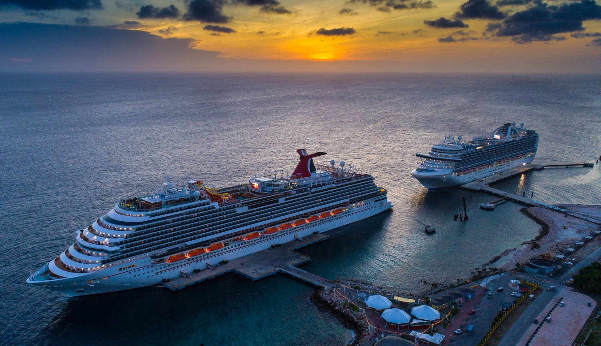
And indeed the HAL parade took place; Veendam followed by Koningsdam, followed by tankers and other cargo ships. We all went to our regular docks and by 07.00 hrs. everything was in full swing. Another nice thing about having only two cruise ships in port is that the immigration procedures go so much faster. There are more CBP officers available to process each ship as the number of them is finite and 16 divided by 2 gives better processing power than 16 divided by 4 ships. As a result I could walk off and back on again just after 09.30 to get my weekly stamp. The authorities are always very eager to see me and to make sure, if I am still l there and if I still have a valid visa. So I did my little bit to help to achieve the zero count which means that everybody has disembarked or in case of the CVG guests (Collector Voyages Guests) have paraded off and back on again. (If they did not go ashore of course)
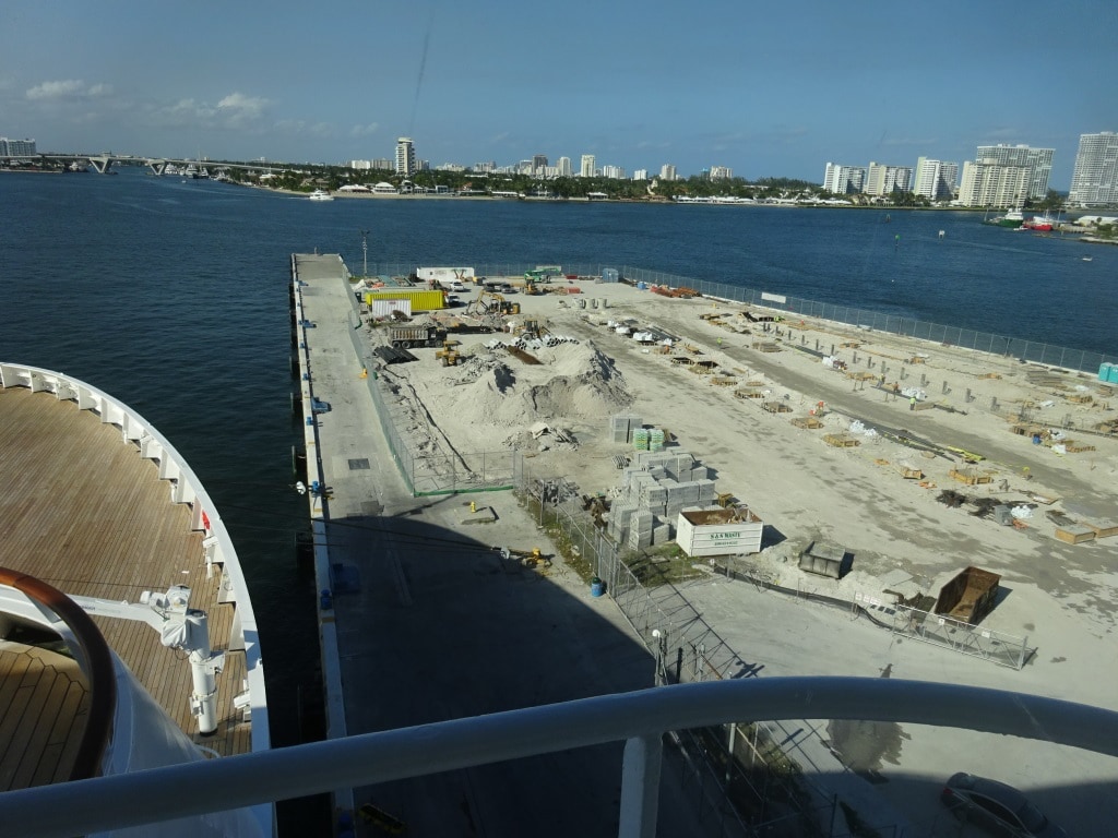
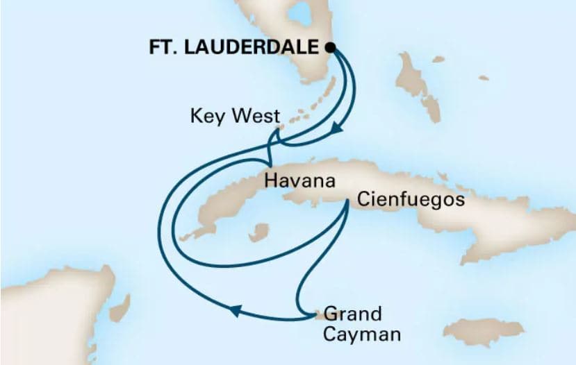
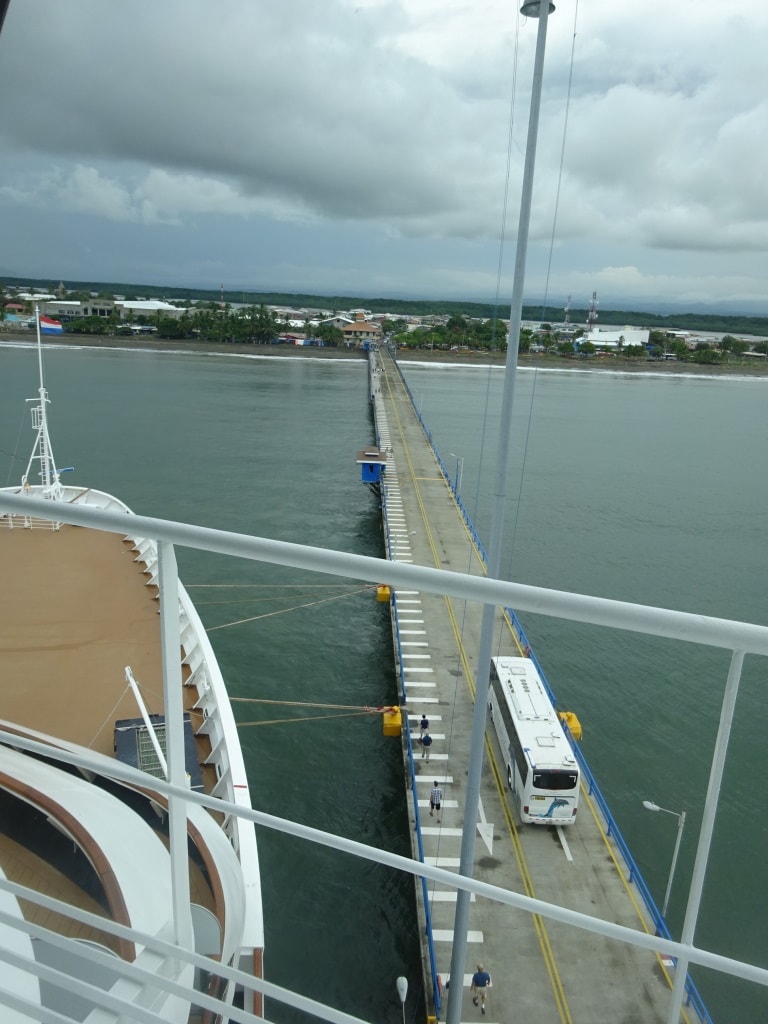
The view in Fort Lauderdale is at dock 21 not really exciting. They have demolished the old terminal 24 and 25 and a new one is under construction. For those whose memory gos back a long time, in the 80’s there used to be a nice restaurant at the end of this pier called Bert and Jack.
I just realized by talking to a guest today that there are a lot of guests out there who do not have much of an idea of what goes on during the Passenger Boat Drill just before departure. They are told to wait until the 2nd alarm goes, then go to the cabin, wait for the 3rd alarm and then go to deck. And there wait for further developments. But what goes on behind the scenes is another matter and a lot goes on behind the scenes. We have three alarms, to make it easier for everybody in case of an emergency. The law requires that everybody gets into the lifeboat and with the lifeboat into the water in 30 minutes. That is not easy to do with a full house and with a complement of which not everybody is as agile as they once used to be.
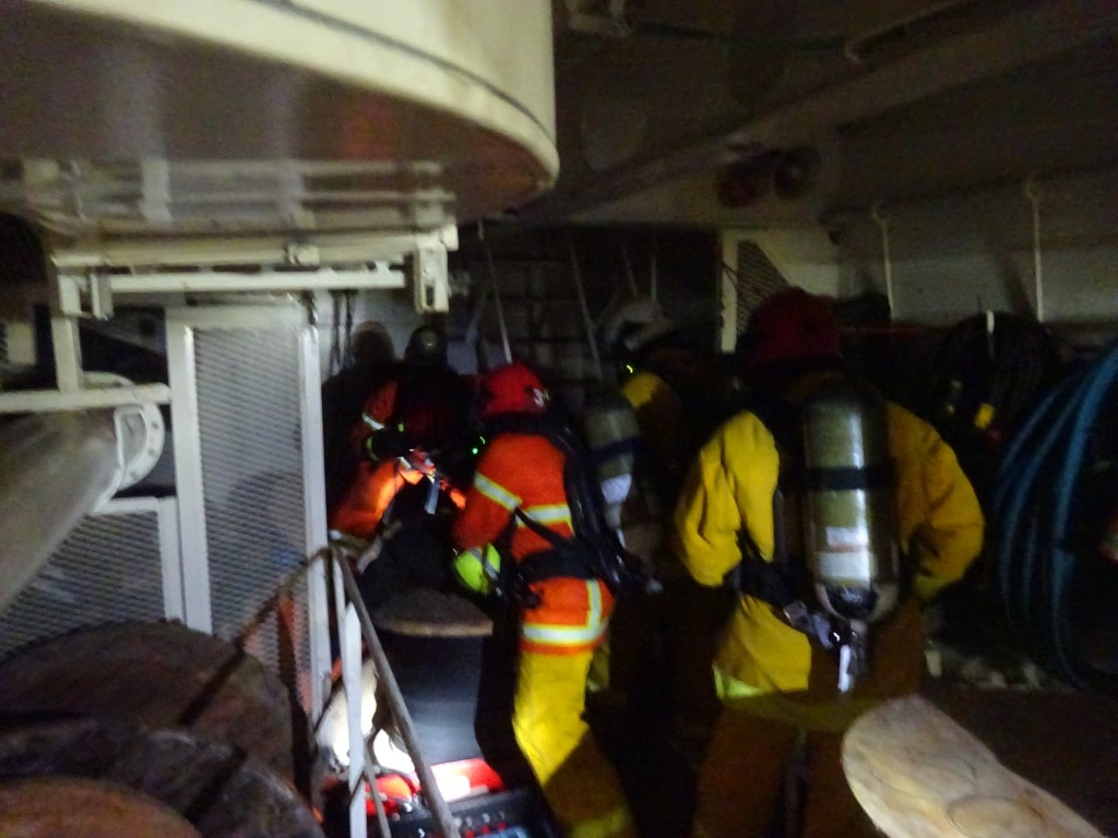
So we have the first Alarm, the well-known fire alarm, which calls the fire teams and a number of support teams to stations. That normally solves all problems in a real emergency. Then we have a second alarm: the Crew Alert Alarm. Now all crew will start executing a function as things might be a bit more serious than just a local fire, or there is something else going on. We can use this alarm also for a search of suspicious packages or if somebody is missing. With this alarm we normally ask guests to go to their cabin and in that way all families are together or reunited again. In the mean time we have sweep teams go through the ship to find stragglers or confused people and on the outside decks the boats and rafts are prepared……. In case of.
Now if the captain then thinks that it might become very seriously, he sounds the General Emergency Alarm (the famous 7 short and 1 long blast alarm) and everybody who does not have a function, that are all the guests and some crew go to their lifeboat stations. If the lifeboats would have to go down now, then they are already ready and then we can comply with the 30 minute rule to get everybody away from the ship.
To support this organization, we have with Holland America three groups on the ships:
Command & Control: runs the Fire teams, the boat and raft lowering teams, Medical, the Evacuation Teams that control the whole operation. Captain is in charge.
Technical Control: The whole engine team to support the fire teams and the Chief Engineer takes the lead when there is a technical fire.
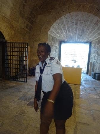
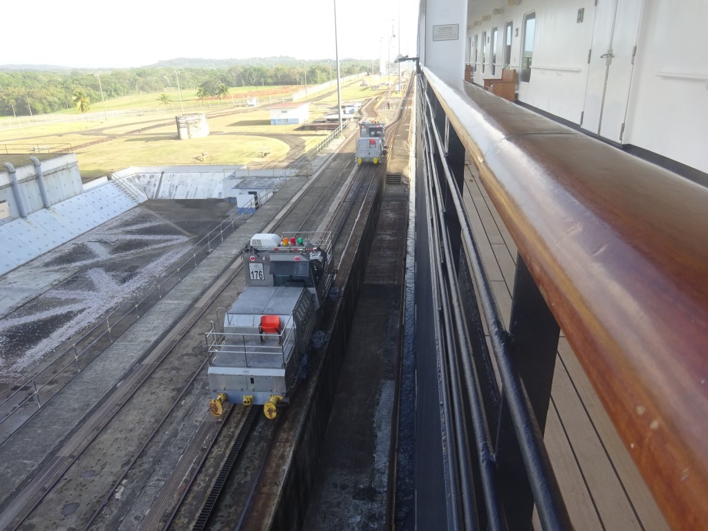
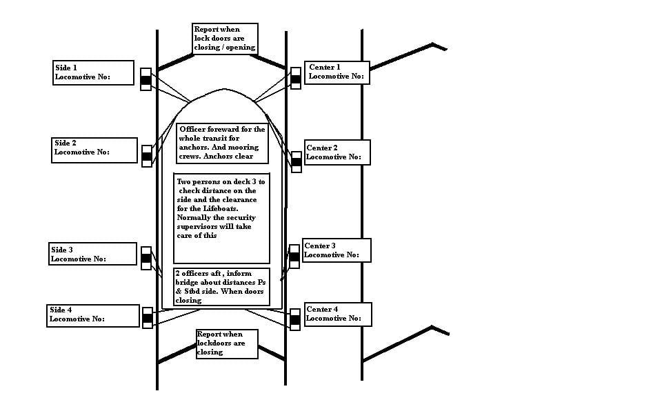
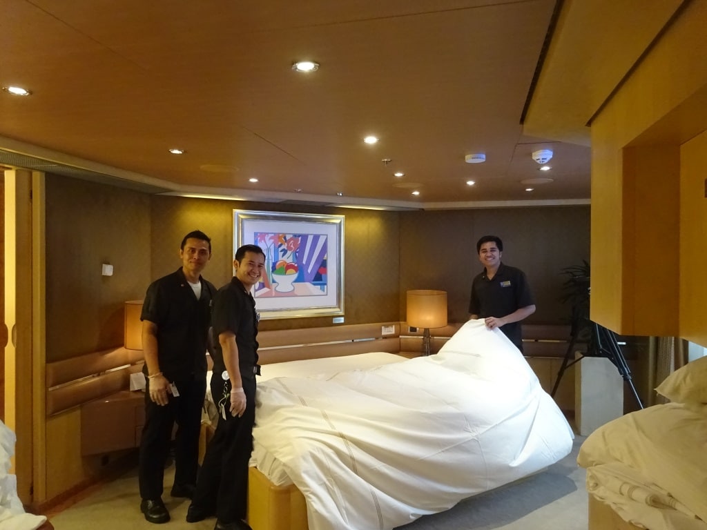
Muster Control: this is the Hotel Director with the front office staff and they lead the whole movement of all guests and crew during the various alarm stages. They also control the various groups that support this, such as Passenger Area sweep team, Crew Area sweep team, Passenger Assist Team (cabin stewards), Club Hal, Deck Clearing Team, Stairway Guides, Document Securing Team (collecting passports and money) and the Emergency Elevator Operator Team. They also monitor the full mustering of everybody. That is now done by I Pod scanning devices and the results can be followed on the computer.
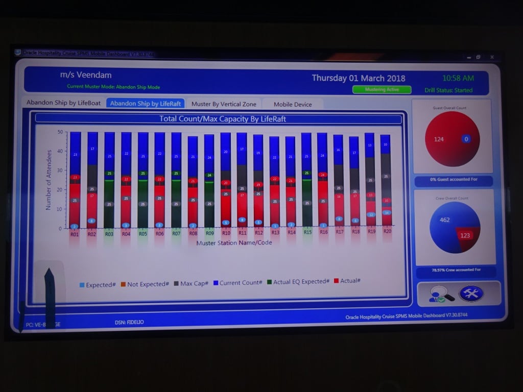
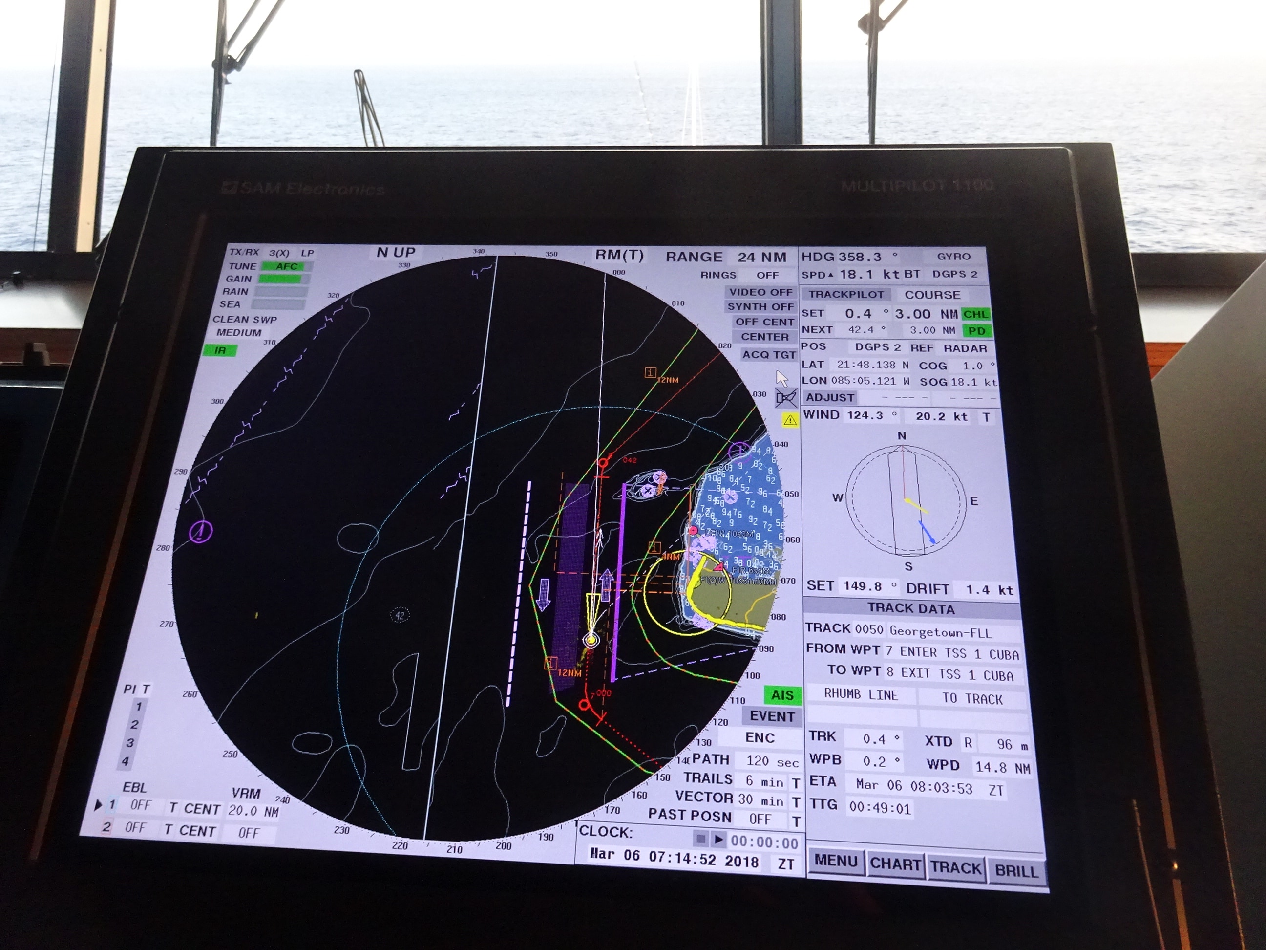
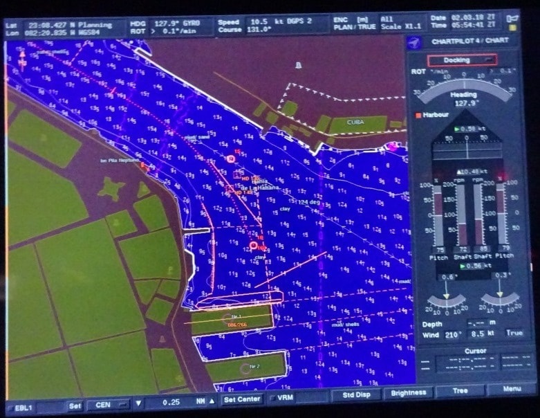
This screen shows all the counts coming in. In this case for crew liferafts but for the lifeboats it works the same. Green is complete and red still in progress. The round pie to the right, blue what is in and red what is still outstanding
With all the teams deployed, it is not possible for any guest or crew to go missing or to be left behind and everybody will survive an emergency. We drill this constantly and it is one of my focus points when I am on board to observe and test these groups so that they live up to the standards. I am not an auditor, because yes I point out omissions but I also solve them by giving guidance, training and having them go through the routine one more time. Normally it runs like clockwork, as it should, but with 569 crew on board,…………….. there is always one.
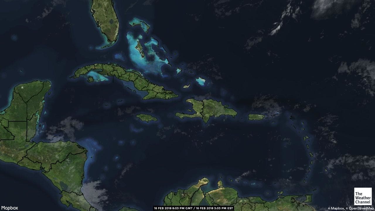
We are now going on an Eastern Caribbean Cruise, calling at St. Thomas, St. Barthelome, St. Lucia – Antigua – St. Croix –Half Moon Cay and then back to Ft. Lauderdale.
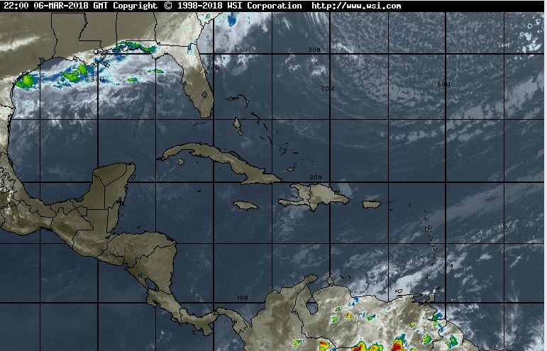
Weather: a bit of a mixed bag. At the moment the wind is blowing from the wrong direction due to this weather front up north. That will pull away and then the regular Trade Wind weather has to re-establish itself. We will see that on our 2nd sea day when we will have rain and the wind will go from south west, to north to north east and then to east again. So by the time we arrive in St. Thomas the weather should be back to what it is supposed to be.