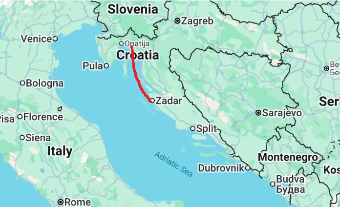
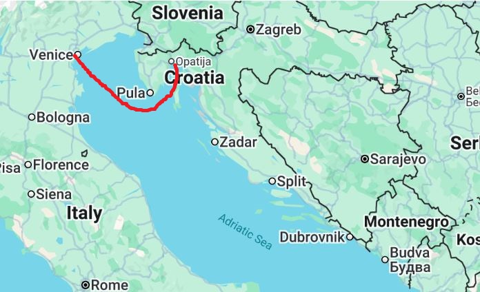
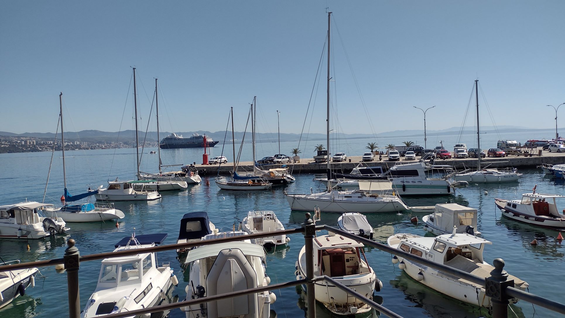
It is only 120 miles from Opitija to Zadar and thus we are basically coast hopping from district town to district town
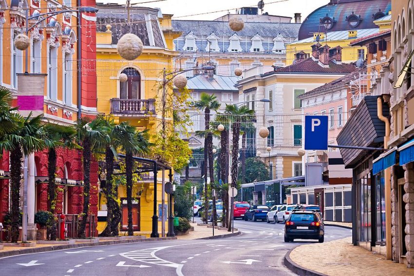
Today we are in Zadar Croatia, a nice old town going back to the Roman Days. When you walk around the pedestrianized roads in the centre of the City, it feels like a mini Dubrovnik. The main difference is that the town has been laid out on the side of the old Roman forum of which has been excavated and some pillars still stand.
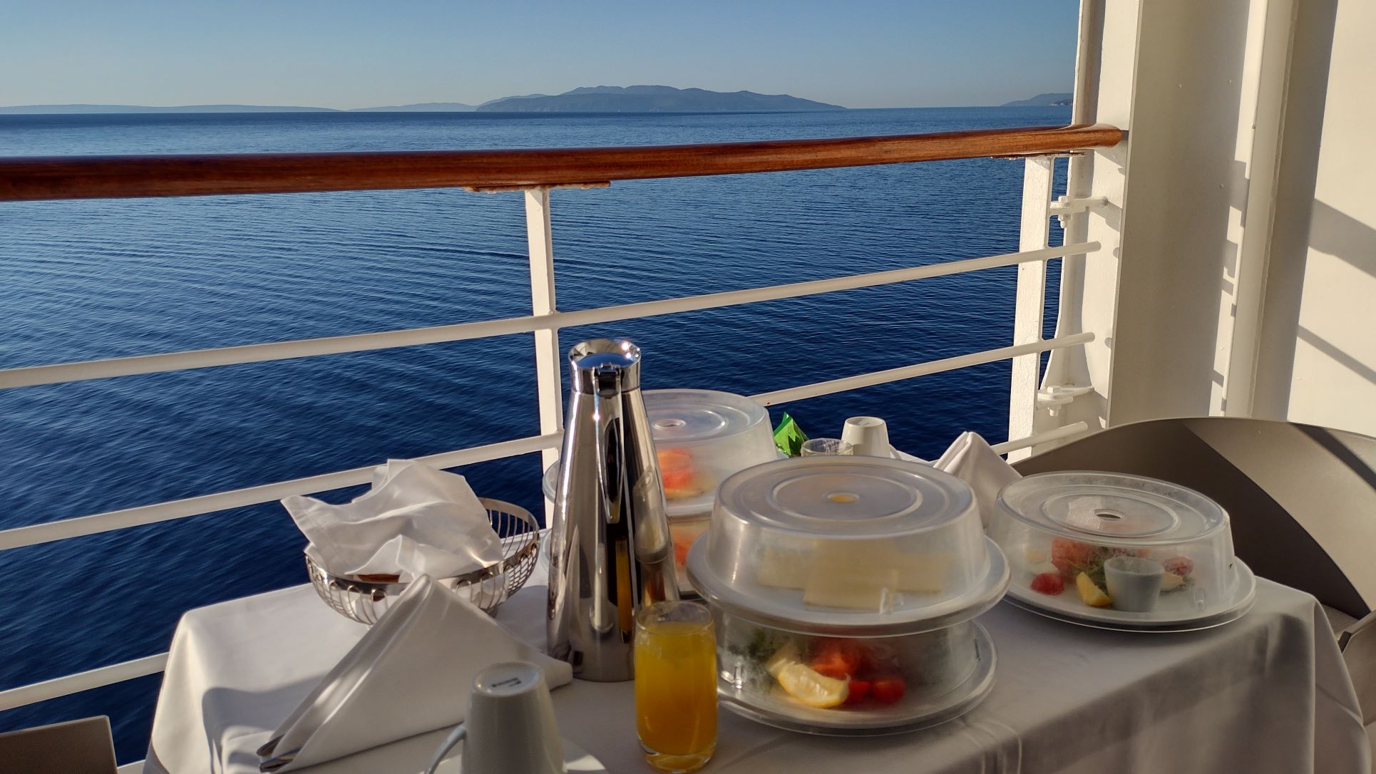
But we started the day with enjoying our balcony with a nice cup of tea and fruit. With soo much food going around in the ship we decided to reduce our calorie intake by having only a small breakfast. And then it started to rain. Not from the skies but from the window wash basket running by on a rail above us. Normally with window washing and/or balcony scrubbing you get a notice in the cabin but nothing in this case and suddenly water came cascading down. A shout from me stopped it but by that time computer and cell phone were wet. Luckily not damaged. Other balconies suffered worse and tables, chairs and the cushions were all soaking wet, all along the portside of the ship. Nice for the guests when they come back from shore and have to sit with their bums on wet cushions. So before we went ashore we stopped by our Guest Relation Lady, who was suitably embarassed and shocked. I think we are not her favourite guests anymore, but if you do not let them know, then they can not improve their product. So she was going to have a word with the Staff Captain.
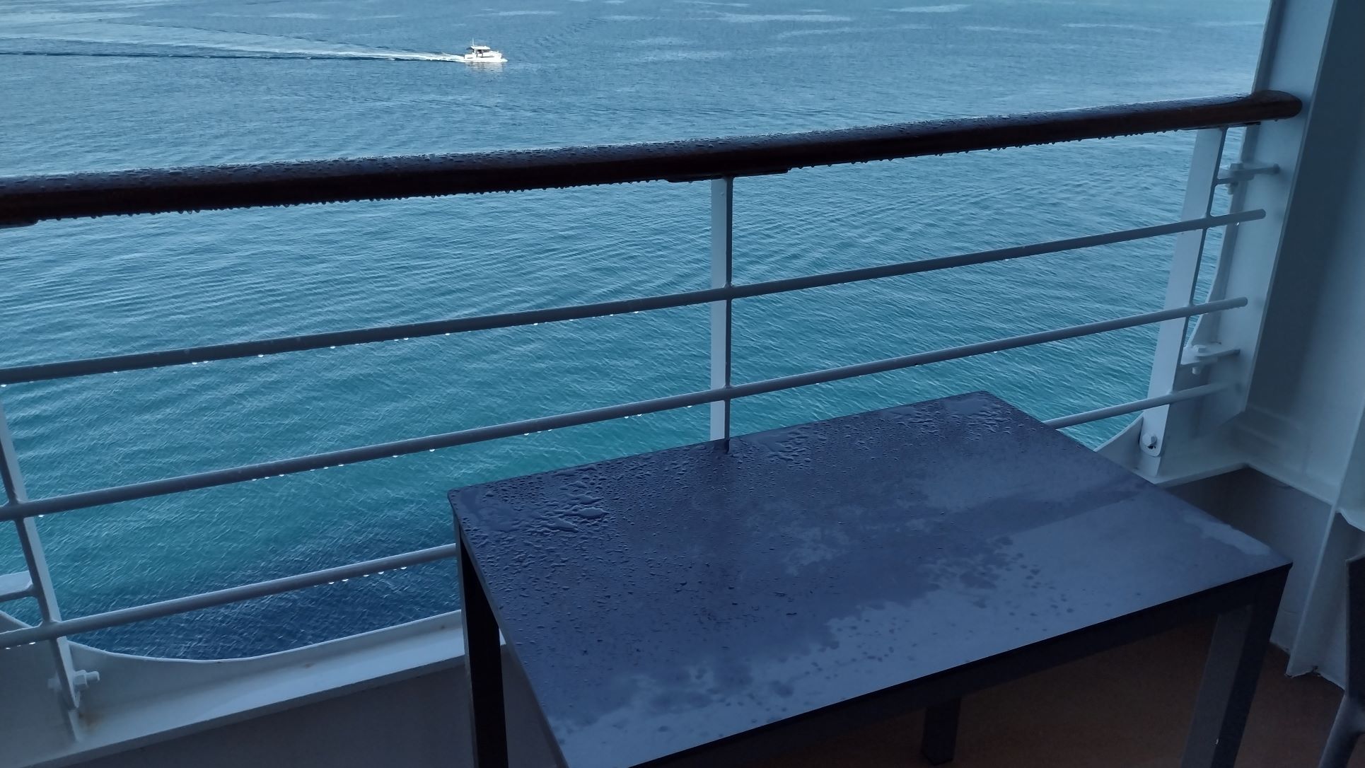
“home made ” rain on the balcony. Refreshing but not good for my laptop.
A very nice thing, at least we like it, is that there are no announcements. There is only the arrival announcement, when at anchor, for open tenders and at departure a few wise words from the captain. For the rest it is all peace and quiet and the ship runs by the daily program. The program is made up of two parts. Basically an A4 (legal for the Americans) size paper folded double with the opening times of all the venues and the regular advertisements for the concesionnaires. (Tonight the highlight was a Sun Glasses pop-up by the shops) then there is an insert which lists hour by hour of what there is going on from early morning to late at night. And that is enough to get around without missing anything. We were very happy with this during our cruise with the Germans on the Amera, six weeks ago, and now we have it here as well. Wonderful.
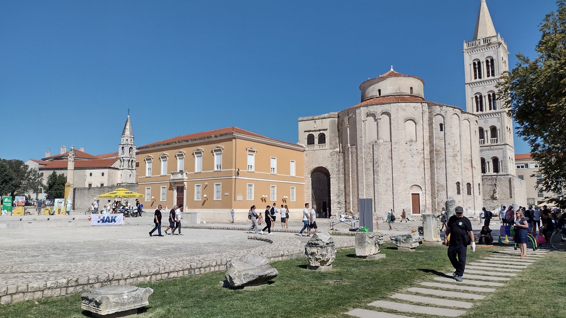
The St. Donalds or St Donatus Church from around 800 AD. Behind it the Zadar St. Anastasia Cathedral and to the left of the yellow marquee one of the very few Roman pillars still standing. The stones in the foreground are parts of the Roman Forum that was excavated.
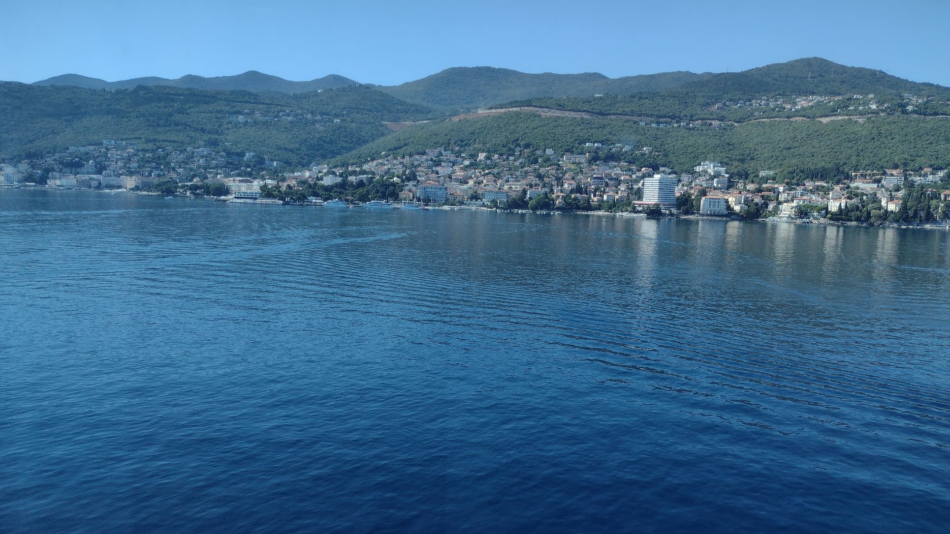
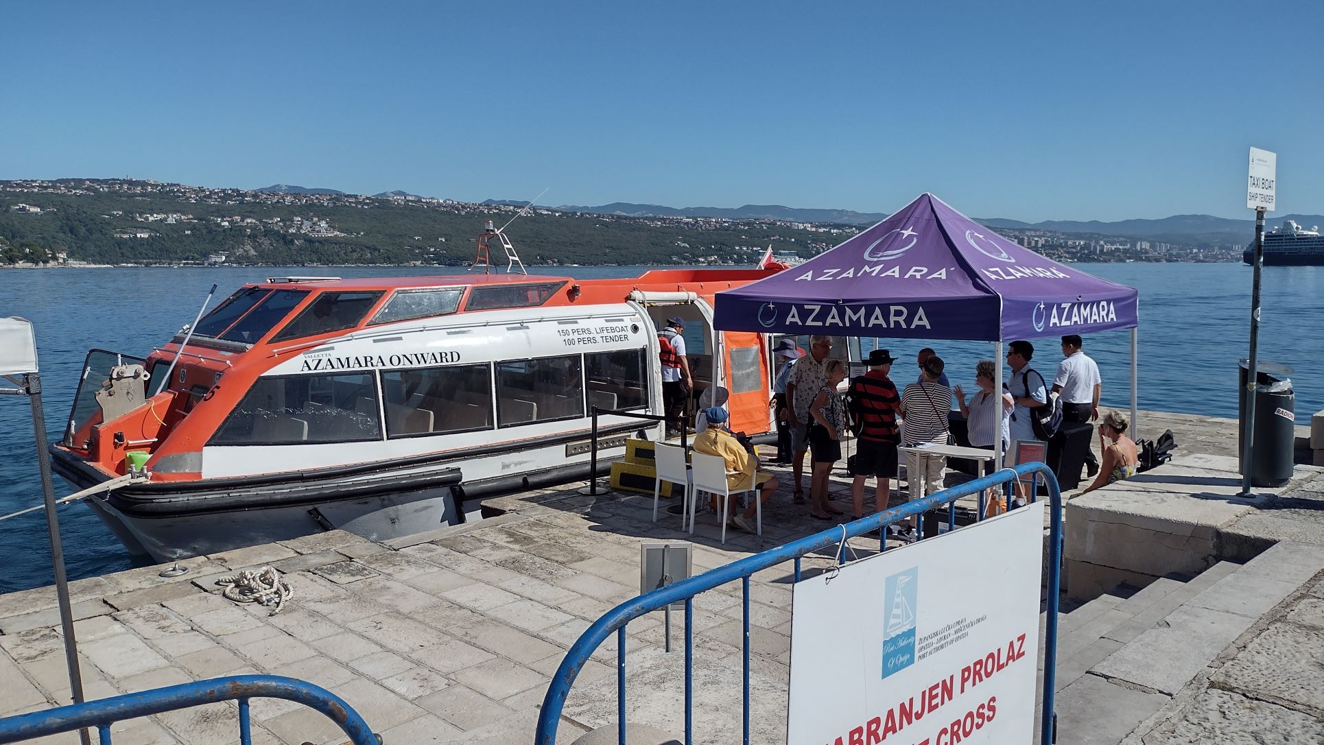
Because we are a small ship, we docked in downtown. There were two bigger ships in port, a MSC ship and an Celebrity one, but they docked so far away that they needed shuttle buses to get their guests to downtown. Those buses all stopped in front of our ship; good advertisement for Azamara. Go small and you Go downtown. And we were really in downtown, to the Roman Forum was less than 5 minutes away and the old town, next to it, 7 minutes, Apart from the forum the place is dominated by the Church of St. Donald / Donatus which was built around 800 AD, partially with stones pilfered from the old Roman buildings around the Forum. So in the end there were only a few pillars left standing.
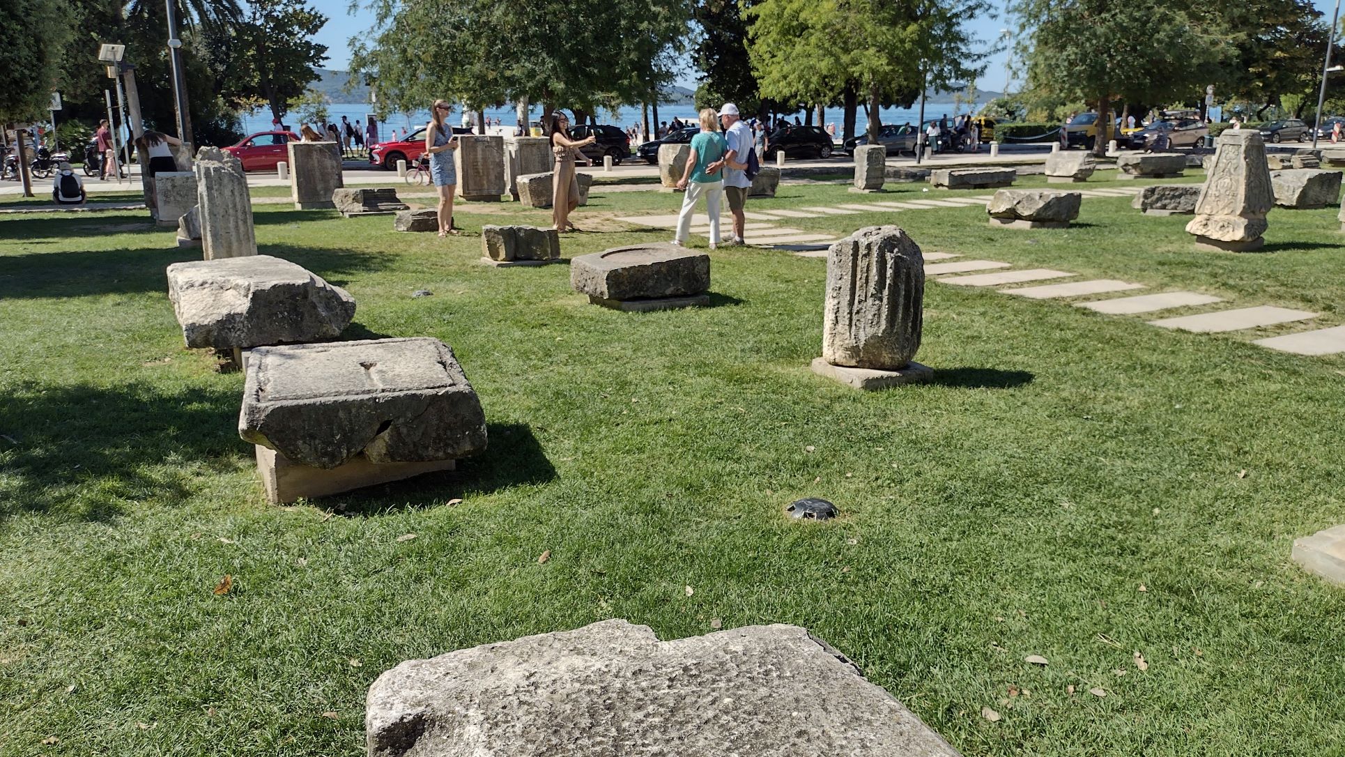
All these stones were once part of various buildings that made up the Roman Forum. Some have inscriptions that are still clearly visible.
Looking at those was enough culture for the day. The Romans ran a very standardized empire, so a ruin in England is the same as a ruin in Germany or in France, Italy or Zadar. With some small local variations of course, Her ladyship was more interested in the little shops in the alleyways. Plenty or restaurants as well and also two Candy shops, so I assume that the Zadarians have a sweet tooth. Thus we had a look at the $ 3000,— gold chains and other jewelry but matrimonial peace was restored as in the end only a soup spoon was bought (we have about 40 hanging in our kitchen at home) and a few bags of Lavender. The south of France is well known for Lavender but the Zadar area is very good as well and apart from little bags, they sold it in combination with a small bottle of essence to revitalize the lavender dish or bag at home.
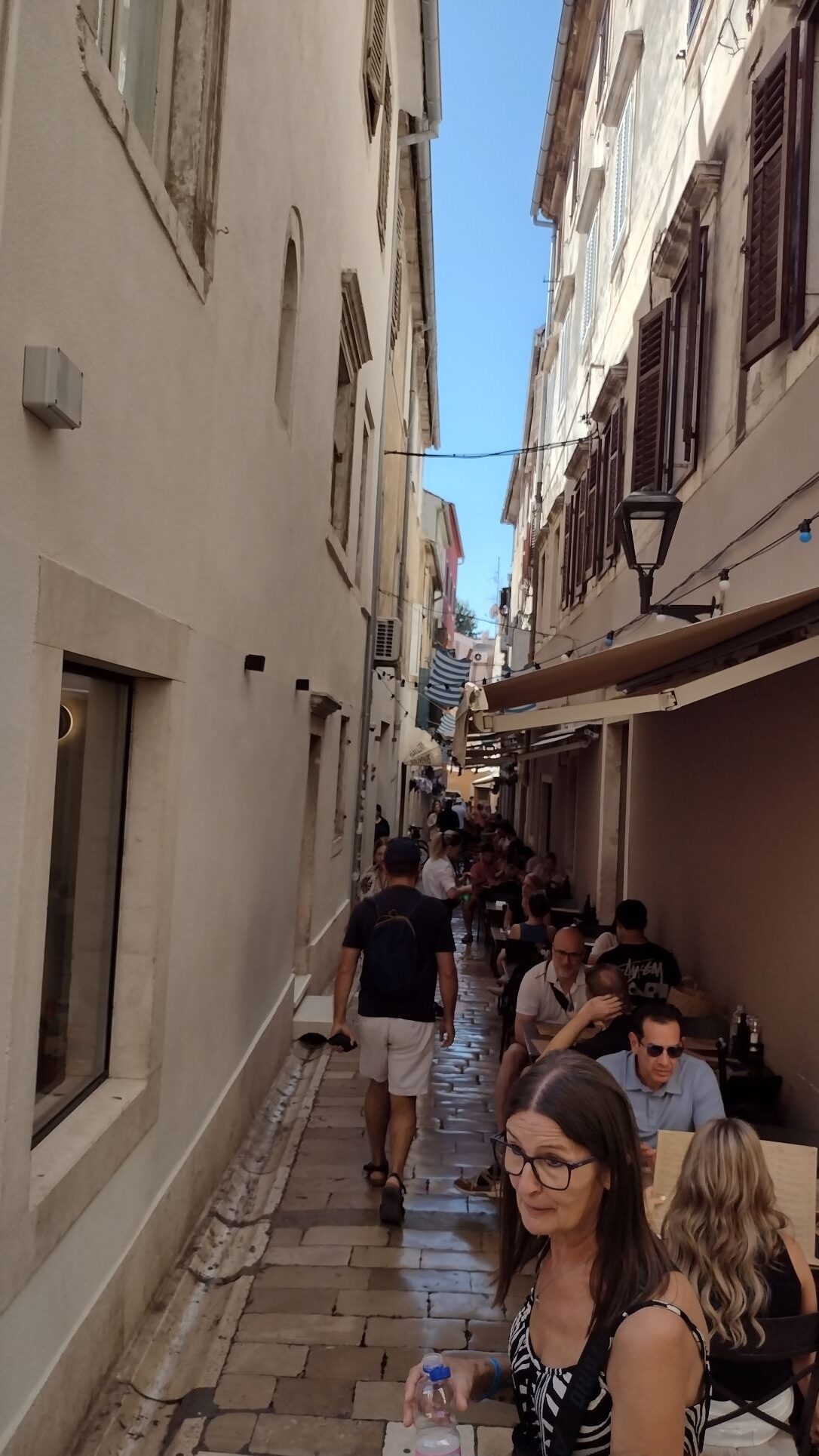
One off the small streets in Zadar. Quite narrow and some made even more narrow as local restaurants had put their tables and chairs in the street.
By 1500 hrs. we were back, just on time, as it was getting very warm on a sunny and windless day like this. Although Saturday, there were no locals to be seen, only the cruise ship hordes. The locals waited to about an hour before sunset and then came out in droves to see sunset.
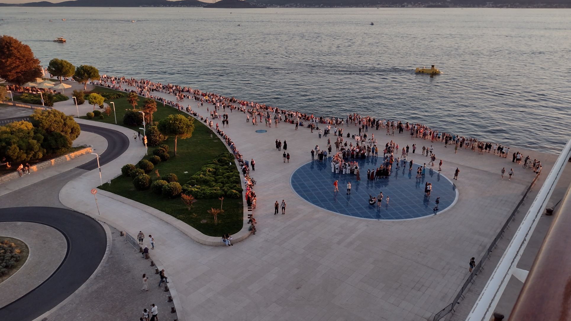
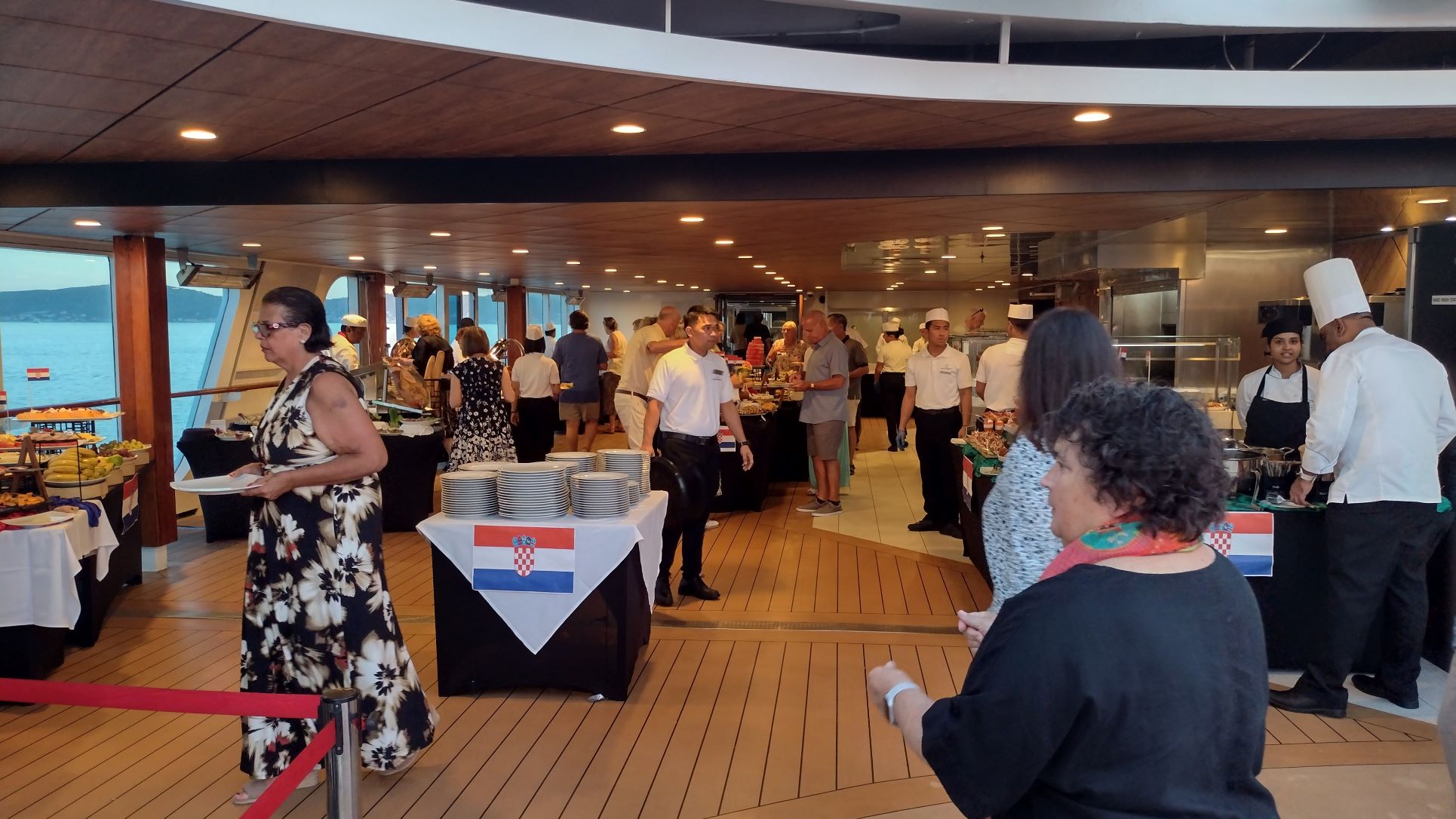
Waiting for Sunset. Saturday evening and the locals (and also tourists of course) streamed to the waterside to watch sunset over the islands off Zadar. The light blue circle is called the “Greeting to the Sun” and is 22 meters in diameter. With photovoltaic sun ray absorption it comes to life after dark and then shows vivid swirling colors with an ever changing display. The ship had a organized a “Balkan Buffet” around the pool and set up tables and chairs to enjoy all the food. The buffet was very elaborate and very well done. Also the drinks were flowing freely and a local duo had been hired to provide Croatian music (which seemed to include Beatles & Billy Joel songs as well ………, but who cares, they sounded very good) I think that about 50% of the guests attended, just enough to fill the deck. The rest must have been in the two Speciality Restaurants (Steak or Italian) or had taken room service, as we saw the last tour bus coming back at 18.45 and they all looked quite knackered.
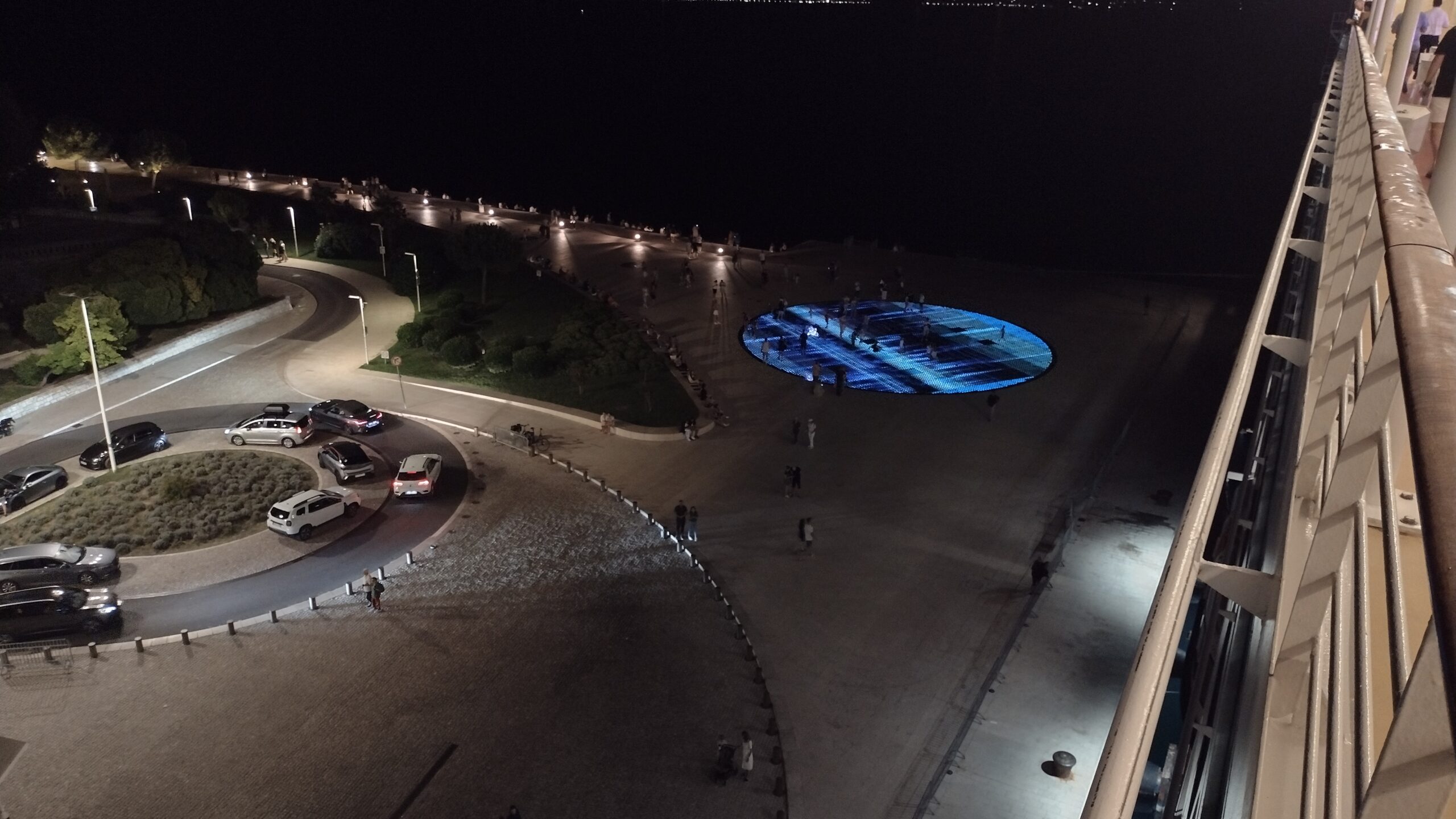
The “Greeting to the Sun” now in full action.
By this time we were sitting down for the Balkan Buffet on Deck 9 & 10 around the midships pool area. Good music, good company with friendly and attentive crew was very really nice. Captain, Cruise Director and Hotel Manager were standing in a far corner but ready to talk to the guests which was appreciated. Azamara makes this a point of their product, so I assume that “being out and about” during part of the day, is calculated into the captains working hours. With Holland America and the 400 emails a day and all the side duties, captains who would like to socialize a bit more hardly have the time, as the job is very much turning into a Process Operator, instead being a Captain in Command and Host of the Ship. It seems that Azamara has gone the other way.
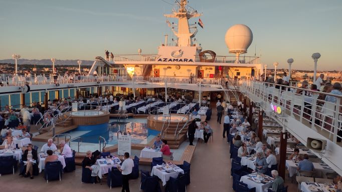
Overview on top deck, just when the buffet opened. All the tables would fill up quite quickly.
On the starboard side of this deck around the pool, which is called The Patio, is a hamburger & ice cream bar called Top & Swirl and here the Executive Chef had created a buffet with several food stations. Salad Bar, Bread and Cheese section, Hot food, Roasted pig station, barbecue and a dessert station.
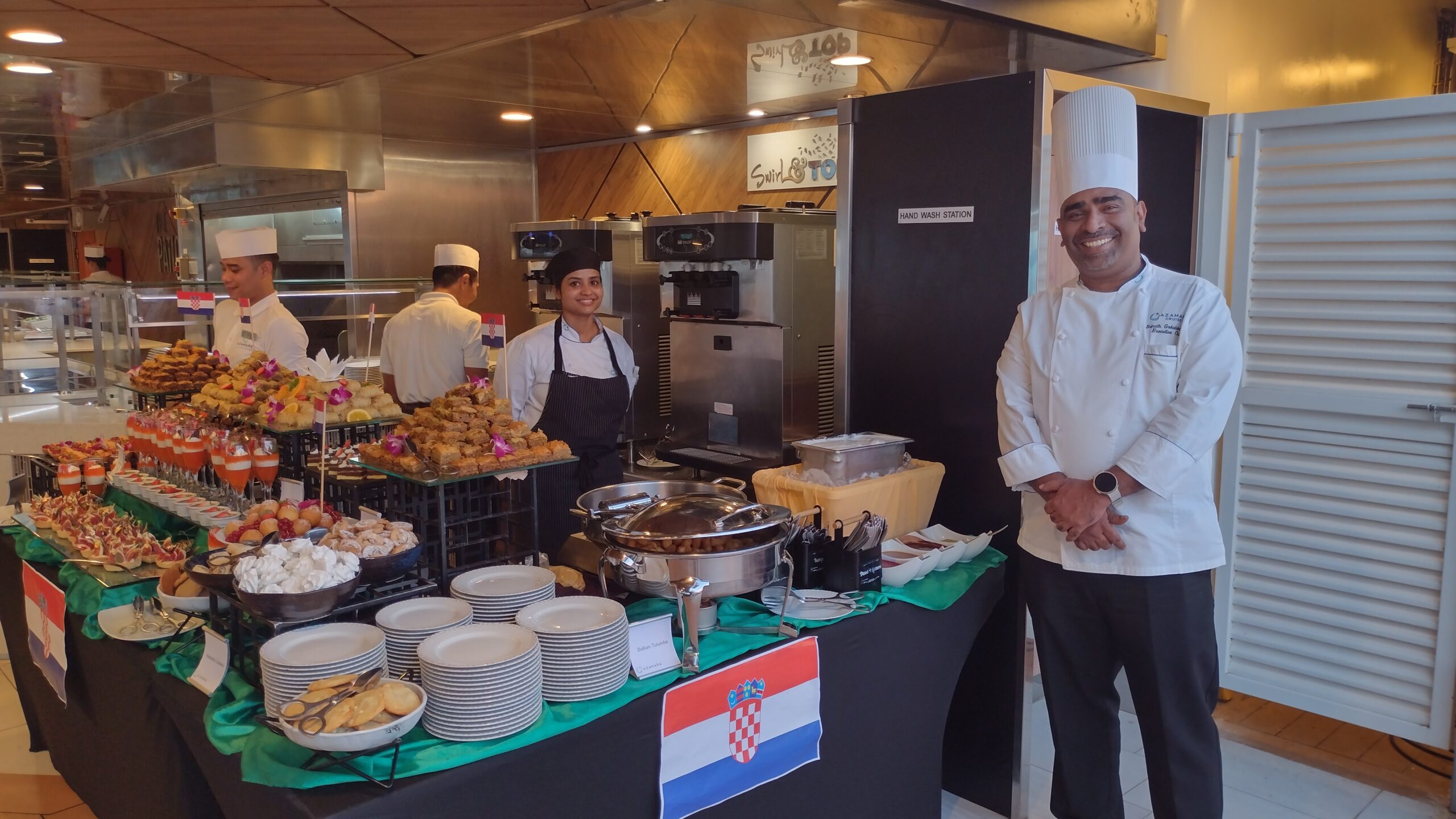
The dessert section with a wide range of pastries including Backlava, On the photo the pastry chef to the left and the ships Executive Chef to the right.
As the ship has a high space ratio of 42 (= elbow room on the tonnage) it never feels crowded, not even when there are a lot of people milling around. So with half the ship being present there were still no lines to get to the buffet stands.
The buffet area with all the food.
A lot of local specialities were made available which included local sausage in all it forms and shapes, local cheeses and local meat and poultry. The roasted pig made a great impression on everybody as did the barbecued beef..
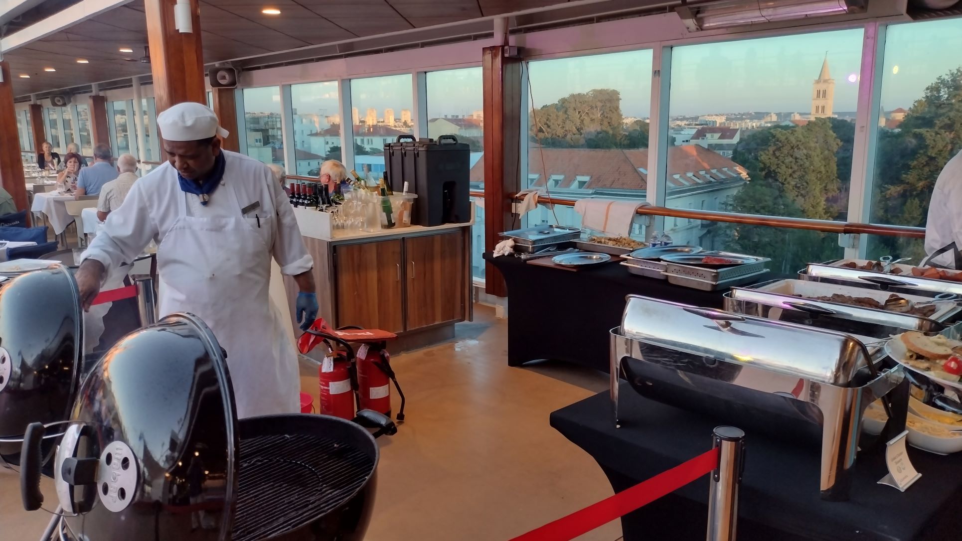
The barbecue station.
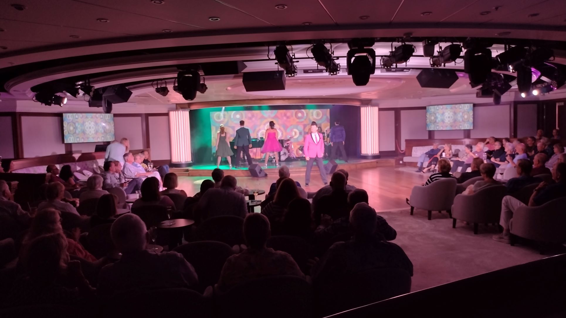
By 2100 hrs. this was all over and we had a look in “The Den” on deck 5 midships where the resident piano player was having a jazz jam session with 3 members of the Show lounge band. As expected it was much too loud for such a small room for people with good hearing, so we vacated to the Living Room (Crowsnest on deck 10) Here the Resident band was playing Beattles music and related, also loud, but this room is really large for the size of this ship and thus we found in the far corner a good spot where we could talk without having to raise our voice. By now we had not eaten for at least 45 minutes and luckily the ship had set up a small buffet so we would not suffer from withdrawal symptoms. Here we met a Canadian couple who we had talked to on the first day and who were up in arms about the on board drinks package that they had bought. Quite rightly so.
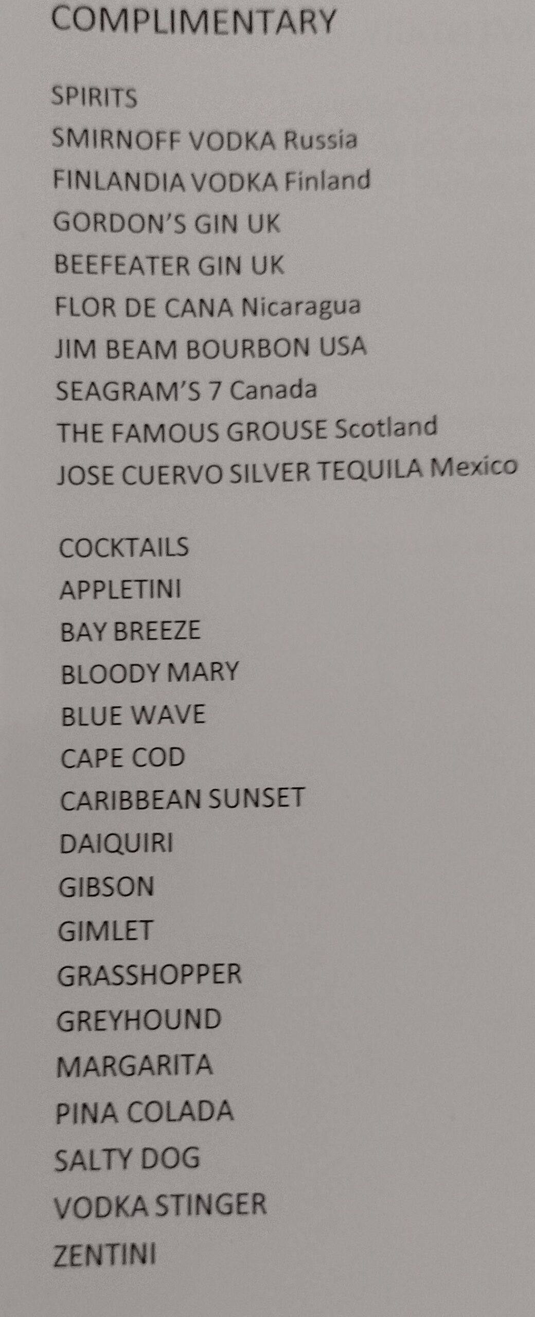
complimentary part 1
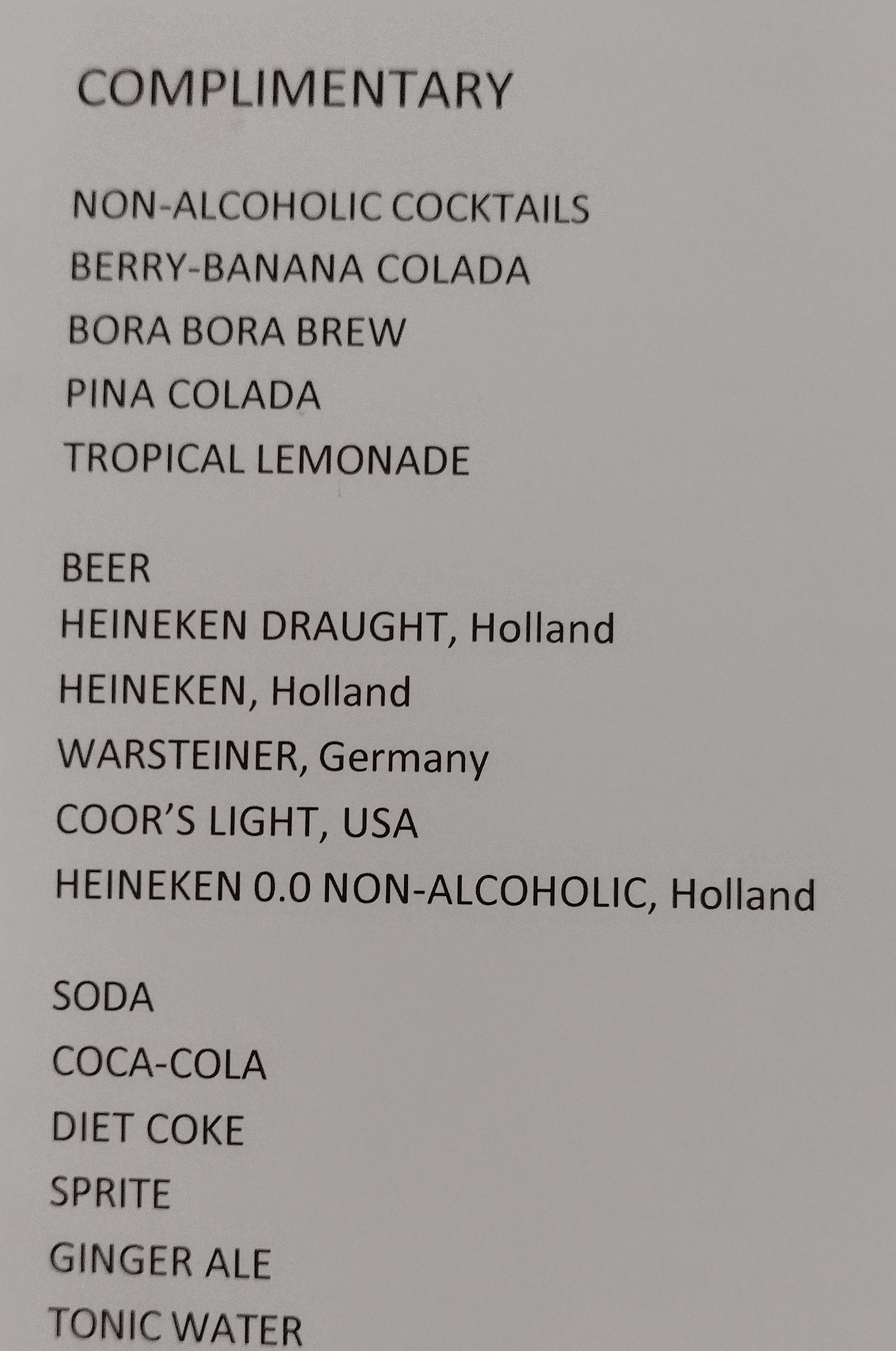
Complimentary part 2. These two have been copied out of the Beverage booklet in the bars. As you can see it is quite extensive and much more than “some” included as mentioned in the paper work.
Azamara announces vaguely in their pre cruise paperwork that during the cruise “some beverages are included” but does not elaborate on the what and how many Then they want to sell you, two upgrades. One for $31.95 pp and one for $ 39.95 a person a day. The problem is the complimentary drinks package includes so much that it does not make sense to take the $31.95 upgrade. (See listing below) there is not much extra. Only if you insist that you are going to drink all the premium alcohol drinks, you might take the $39.95. Several guests, including us had the $ 31.95 package included as part of the booking but we cannot pay an extra $ 8,— a day to upgrade to $ 39.95. No you have to pay the full price for the upgrade package. So the inclusion of the $ 31.95 package as a perk in the booking, does not mean anything as if hardly gives anything extra over the complimentary package.
The ship has the “Atlas Bar” on deck 10 overlooking the de pool area. This used to be the “Drawing Room” which name is still on the location diagrams in the staircases. The Atlas Bar is a premium cocktail lounge which is only included if you have the $ 39.95 package, or you have to pay the full price for the cocktails and those are not cheap. So my suggestion is, if you get the $31.95 (called the Premium package) included with your booking, that is fine. If you do not, then it is not worthwhile to pay and extra $ 31.95 to get a few more choices. If you are planning to swill cocktails all day and expensive whiskies and cognacs, then that is up to you for $ 39.95. We found that most guests who did not know the extent of the complimentary package were quite annoyed about this $ 31.95 top up with only marginal extras.
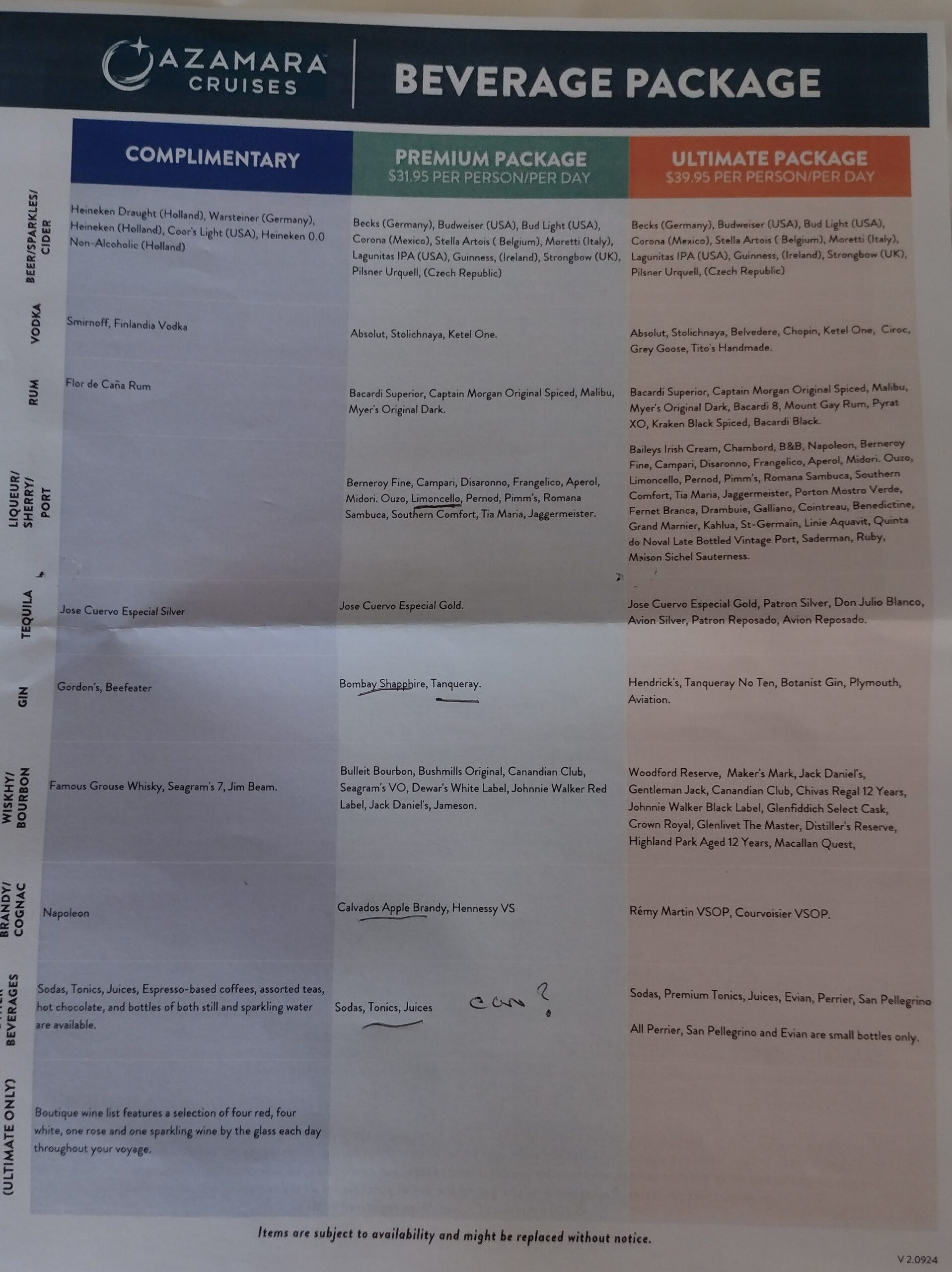
The full 3 package options.
Tomorrow we are in Hvar, also in Croatia, Weather supposed to be as today. Sunshine, hardly any wind and temperatures around 28oC. or 82oF. It is an anchor port and thus we need a tender to get ashore.

 Dem gesamten Schiffsteam rund um Kapitän Dariel Valdes und Kreuzfahrtdirektor Joe Liemberger war es eine große Freude, Sie an Bord zu umsorgen und mit Ihnen gemeinsam schönste Reiseziele erleben zu dürfen.
 Dem gesamten Phoenix-Team an Bord wie an Land wäre es eine große Freude, Sie recht bald wieder mit einer neuen Reise begeistern zu dürfen. Seien Sie stets an Bord von MS Amera oder einem der anderen Schiffe von Phoenix Reisen auf das Herzlichste willkommen!