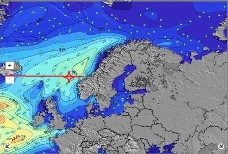
We had an early and a shorter day today as before; all docked by 07.00 hrs. and all gone by 16.00 hrs. Compared to the standard 08.00 – 17.00 call times. We moved the times forward here by an hour in order to make the next call at Eidfjord on time. Which is set for at 10 am arrival. The little town of Eidfjord is tucked away at the end of a deep fjord so it will take us some time to get there.
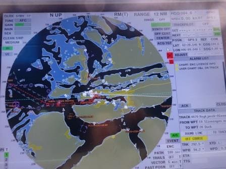
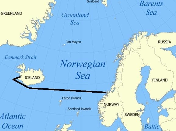
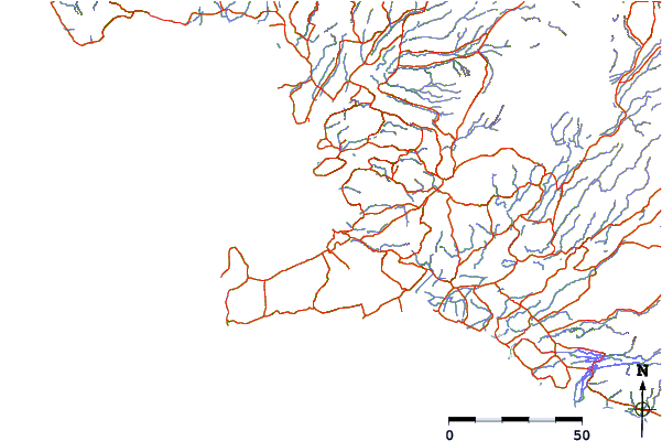
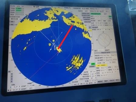
Following the dotted Red line it is about 14 nautical miles to the dock from the pilot station
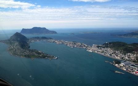
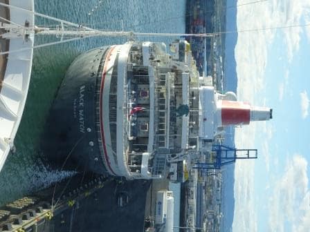
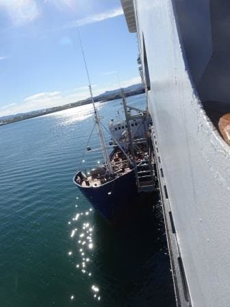
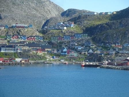
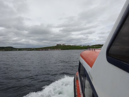
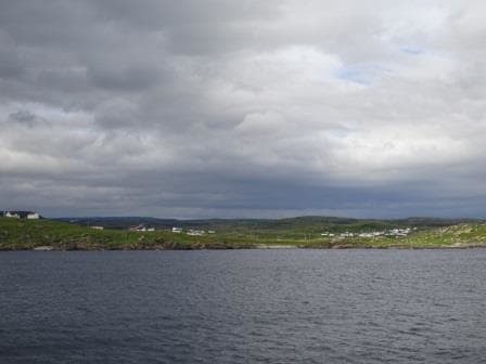
Aalesund took only an hour from pilot station to dock as it quite close to open waters but still beautifully sheltered; laying behind a high rock or hill and then in the inner curve of another rock formation. Things must really be bad outside before it gets noticeable here. We were not the only ship in today, ahead of us was the Arcadia which is the fifth Holland America Line Vista Class but was handed over to P&O for completion. If this was done because they lately realized that a compass rose only has four main directions (Zuider – Wester – Noor – Ooster ….. dam) and not five or that some marketing insight decreed that P&O needed more ships. I do not know but the fact is number 5 went to P&O and is now the Arcadia. Nice thing about it is; P&O also keeps the tradition of using established names in their system and this is number 4. (1. Arcadia 1888, 2. Arcadia 1953, 3. Arcadia 1996) Being of roughly the same size as the Rotterdam she is also doing a similar variation of cruises, although while being focused on the British Market.
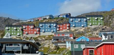
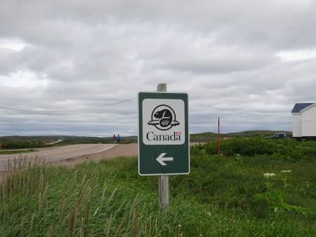
With her 2200 and our 1400 Aalesund was invaded by roughly 3600 visitors, not counting the crew. The cruise pier is right in down town: you only have to cross the street. Houses/apartments are built almost onto the cruise pier and thus this morning I could see a local lady doing the ironing while I was having breakfast. I am happy to report that a Norwegian iron just looks like a Dutch or an American one. There is a fairway which cuts completely through Aalesund with a small harbor in the middle. This also divides the two piers from each other, where we were docked today. I think it is a natural connection, resulting in most of old Aalesund sitting on an island, but for small boats it is very handy to get from one bay and dock area to the other.
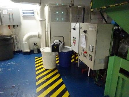
This is a corner of the Recycling Centre with the smoke machine at the ready. Note the 6 green lights and then look two photos down.
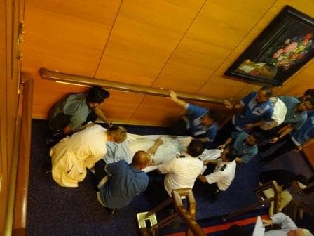
While the guests were ashore, the deck and engine officers were exposed to one of my special fire drills today. Solas requires that as a minimum the fire teams conduct a complete/drill/exercise once a week, and that exercise has to mimic a real life situation. We do not have to create an actual fire on board but we should simulate it as best as possible. Setting up a good scenario, which really focusses everybody, is not always easy to do and that is where I step in. Deck and Engine departments take turns and this week it was the turn of the Technical department to take the lead. To organize a drill for them is sometimes difficult as you cannot stop ventilation in the engine room as it can cause the lights to go out, if it starves the engines of oxygen. Thus I try to find a space with technical equipment that is not so critical when it comes to ventilation or light.
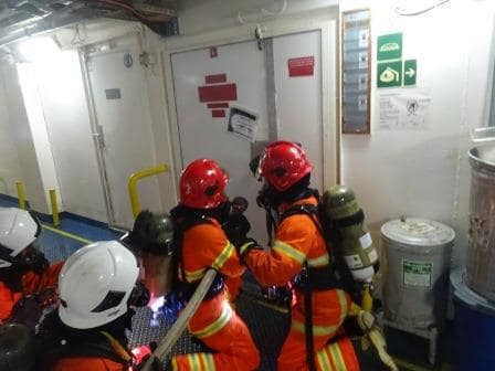
The Engineering Teams lining up for the attack, just before entering the smoke filled area.
So today we drilled and trained in our Recycling Centre, less nicely named the Garbage Room, where everything that has been used gets recycled. (Holland America has come very far and nearly everything on board gets recycled ashore after separation in this garbage room. The only thing that goes overboard are the five star food left overs for the fishe. Today things were complicated as the fire resulted in a chemical spill and a casualty who got caught in the spill. For those casualties we have a volunteer called Mr. Dummy who nearly permanently lives in the infirmary, recovering after each calamity after subsequent fire drills.
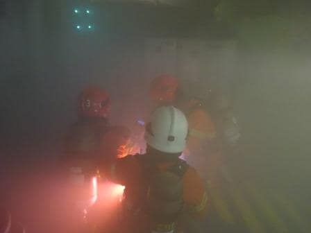
Approaching the source of the fire. Note the green lights at the top.
So we had smoke, smelly –chemical- air (I used a fragrant from the Spa Steam room) and a large area to search to find the source of the fire and the casualty. When Mr. Dummy was found it became complicated as Medical first needed to know the sort of chemical to advise the best way of handling. Medical is never allowed close to an emergency as we only have four of them and thus they talk to the fire team on location through a sort of mini assessment and then advise how to get the casualty out.
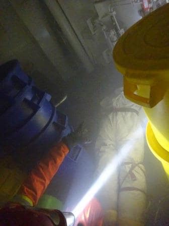
Mr. Dummy has been found. Teams now waiting for the heads up from medical.
I like to switch off all the lights, whether it is realistic or not, as it is the only way to reduce the familiarity of the Officers with the area. Engineers know their engine room by heart but they always work there with the lights on. Lights off and they have to go a step slower and rethink the area in their mind.
So tomorrow we are in Eidfjord. We will be at the pilot station at 03.00 hrs. in the morning and then be docked just before 10 am. after a very scenic voyage in. The weather looks a bit changeable with a good chance of showers and temperatures of 57oF or 13oF.