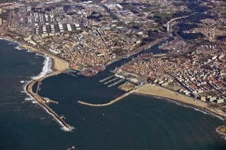
And thus the good ship Rotterdam sailed south towards Lisbon. It takes a bit of time to get to Lisbon itself as you have to sail up the river Tagus for about 90 minutes before you even get to the city proper. The Tagus has a very wide estuary which is very shallow with only the central part being deep enough for ships navigation. But as it is so wide and nothing else can happen to you but running aground in the soft mud, there is not pilotage until you come to Belem Tower.
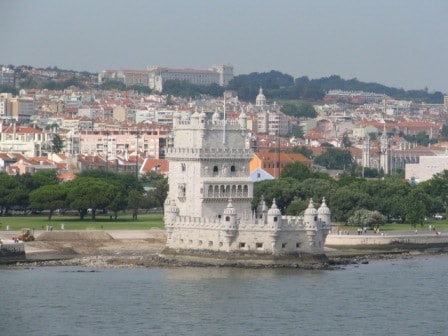
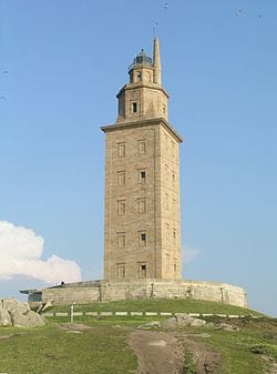
Belem Tower. The pilot station is just next to it.
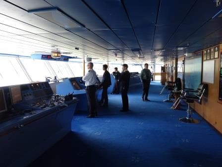
So the Rotterdam sailed up river conned by the ships navigation team itself. There is some help in the form of a very strong Leading light system consisting of two red lights above each other (if you are on course) and that makes it somewhat easier to stay in the middle of the channel. Local fishing boats and sometimes the Portuguese navy make it more difficult again but as it was still dark at 05.30 in the morning, both groups were not very active yet.
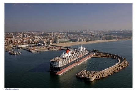
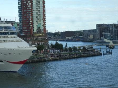
By sailing up the river with about 12 knots and a strong current against us, we reached Belem Tower by 7 am. to pick up the pilot. Belem tower has been since times immemorial the pilot station and it still is. From the pilot station we passed under the singing bridge and docked at the new passenger terminal which was built recently and is still being improved upon and extended. As we were sailing against the tide, the ship docked portside alongside, keeping the nose in the current. It is much easier keeping the nose in the current and the ship in position (little kick ahead on one propeller) than to try to do that by having to give astern speed to keep the ship still while the ropes go ashore.
The new cruise dock with three large berths. We were at terminal 3.
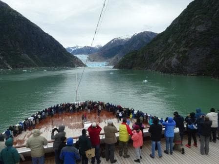
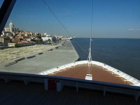
By 8 am., the gangway was in and everybody could stream ashore for a full day of excitement. The weather was really nice today, sunny but with a cool chill in the air caused by a gentle breeze coming from the sea side. Warm in the sun, cool in the shadow. Nobody should have been able to complain about today. Even for those who stayed onboard Lisbon is a nice port as it is built against a mountain ridge and there is plenty to look at. Look at the multi colored houses and apartments or look over the river as it is quite busy as all sorts of ships come by.

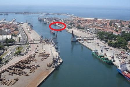
Eventually the barren concrete surface is supposed to look like this.
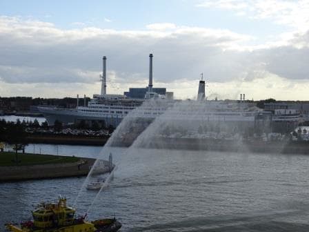
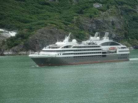
One of those ships was a little cruise ship which I had not seen in a long long time: The Ocean Diamond, better known from the past as the Song of Flower. In the 80’s we saw it very often in the Eastern Caribbean. As it was a converted cargo ship she had and has a very distinctive profile of two stylized funnels side by side near the stern; and hanging over the stern the ships tender which was then called “Baby Flower”. Since then I have heard about her on occasion but as she sailed in different area’s than most of the HAL ships, I did not see her any more, so it was interesting to see that she is still going strong after 41 years, having been built in 1974 and converted into a small cruise ship in 1986.
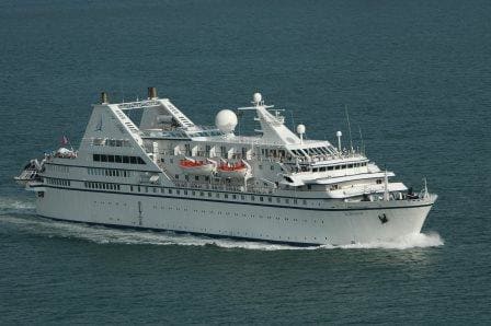
The old Song of Flower now the Ocean Diamond and pictured here as Le Diamant. She now sports a blue hull. Note the cruise tender at the stern.
Lisbon is a city where you can easily get lost in for a few days and on some cruises our ships stay overnight here, but not this time. We sailed a 5 pm. under clear blue skies, back down the river to open sea. We have quite a distance to go to the next port, and as we are returning to Spain we will go an hour forward tonight. Bringing us back on European Time. Tomorrow we will be in Huelva and that is going to be quite interesting as it is a new port for me.
The weather is expected to be the same as today, sunny but with a gentle breeze from the south west.