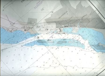
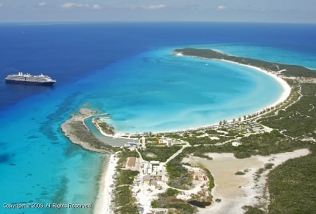
Today, our next stop, after Aruba is visiting Willemstad located on Curacao. This is the C in the Dutch A,B,C Islands. So we have called at the A = Aruba but we will not call at the B = Bonaire. I believe the Oosterdam is making a cruise where it calls at all three, in the order B,C,A. Still two out of three is not bad and as Willemstad is distinctively different than Aruba it is a good port to call at to keep the cruise exciting. Willemstad was conquered by the Dutch in the ancient past because it had a deep natural harbor inside the island and a fairly narrow opening to get to it. From there the Dutch ships could control (and harass) anything that was coming or going from the south American coast. That narrow opening made it easy to defend, while a fleet was inside, and for that purpose two fortifications were built on both sides of the “Schottegat” The garrison was stationed at the eastern side and thus that has the largest fort. There is now a big hotel standing right on top of it.
Still to get in and out was and is not so simple. A sometimes very strong cross current runs from the East to the West right under the entrance. So although the sailing ships were a lot smaller than the current ships, they were also a lot slower and would take much more time to get in. The slower you are, the more time the current has to push you. And push you to a location you really do not want to go to.
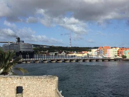
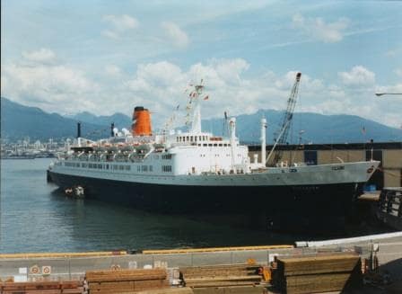
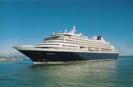
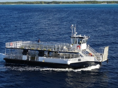
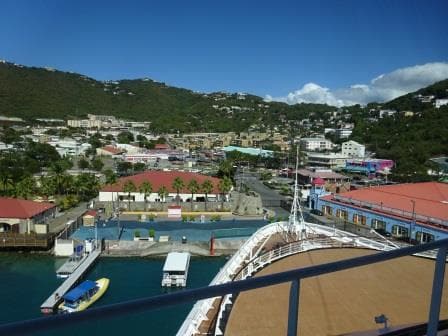
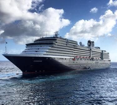
Zuiderdam at its dock with the pontoon – pedestrian bridge closed
Captains still have to grapple with that challenge and that makes Willemstad a port we like and we hate, at least if we have to dock inside. We all love Curacao because of what it has to offer but we do not like to sail into the port, especially not if we have to dock right at the entrance after the pontoon bridge. The whole maneuver then looks a bit as if you drive with 20 miles an hour into your garage and rely on pulling the hand brake at the right moment so you do not hit the back wall. Can be done but it is tricky and you need the skills to pull it off.
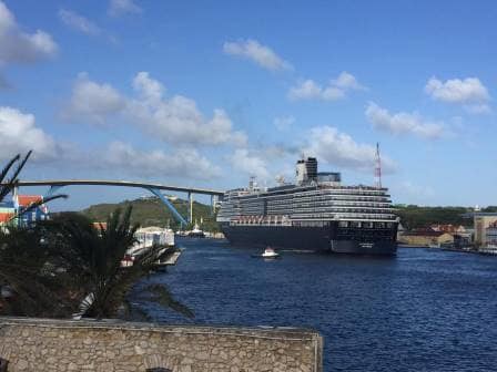
The Zuiderdam moving to the middle on departure. In the back the Koningin Juliana bridge. they only way for motorised traffic to get from one side to the other.
Today was good for the guests as we were going inside. The outside –mega liner- pier was allocated to the Adventure of the Seas which is indeed much more of a mega liner than we are. Carrying more than double the number of guests. So we docked inside at the Otrabanda side of the town. Although the guests still have to walk over the pontoon bridge it is a lot shorter than walking all the way from the Mega Pier. If you take a taxi it does not matter as the pontoon bridge is a pedestrian bridge so the taxi still has to make a 10 minute detour over the bridge to the other side.
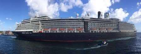
ms Zuiderdam making stern way out of the port and speeding up to 8 knots to counter the cross current.
Because the Zuiderdam is still a big ship, it departs stern out and that gives another challenge. In the port there are no issues but as soon as you push the stern out of the entrance it is caught by this cross current of at least 2 knots and it starts pushing you very quickly to where you really do not want to go. So if the ship leaves with a backing out maneuver, it will try to get as close as possible to the East side and then start making speed astern. The Zuiderdam managed 6 knots by the time she came outside and was clear of everything before the current could get a good grip. Still we were set about 1.8 knots to the west while doing so.
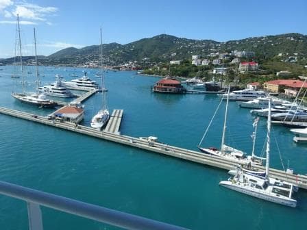
Safely back in open waters with the pilot boat alongside to collect the pilot.
That also gives the strange situation that the pilot boat comes alongside to take off the pilot while the ship is going astern and not forward. In the old days when the ships did not have that much astern and sideways power, you would sail all the way in, turn in the St.Annabaai and then make speed while sailing out. Sometimes that looked as a “Jack in the Box” suddenly popping out.
As this is so spectacular to watch, the locals and well informed tourists make sure they are all sitting at the little terraces on both sides of the port entrance to see a blue hulled apartment building first towering over them and then gathering momentum to race into open waters.
Tomorrow we are at sea and then we have a call at Cartagena, Colombia. This will be a shore excursion stop for half day tours, so we will dock at 05.30 in the morning and then depart again at 13.00 hrs. As we are touching with this call in South America and the Rain Forest is very close by we might get a few showers while on the way and while being there. But in this area the rain is warm, so it is not a big deal.
Note: All the photos were submitted via Captain Bart Vaartjes, who received them from Jimmy Plug an ex Holland America Line 2nd officer. He now works for a dredging company and was observing the departure from a vintage spot (read bar).