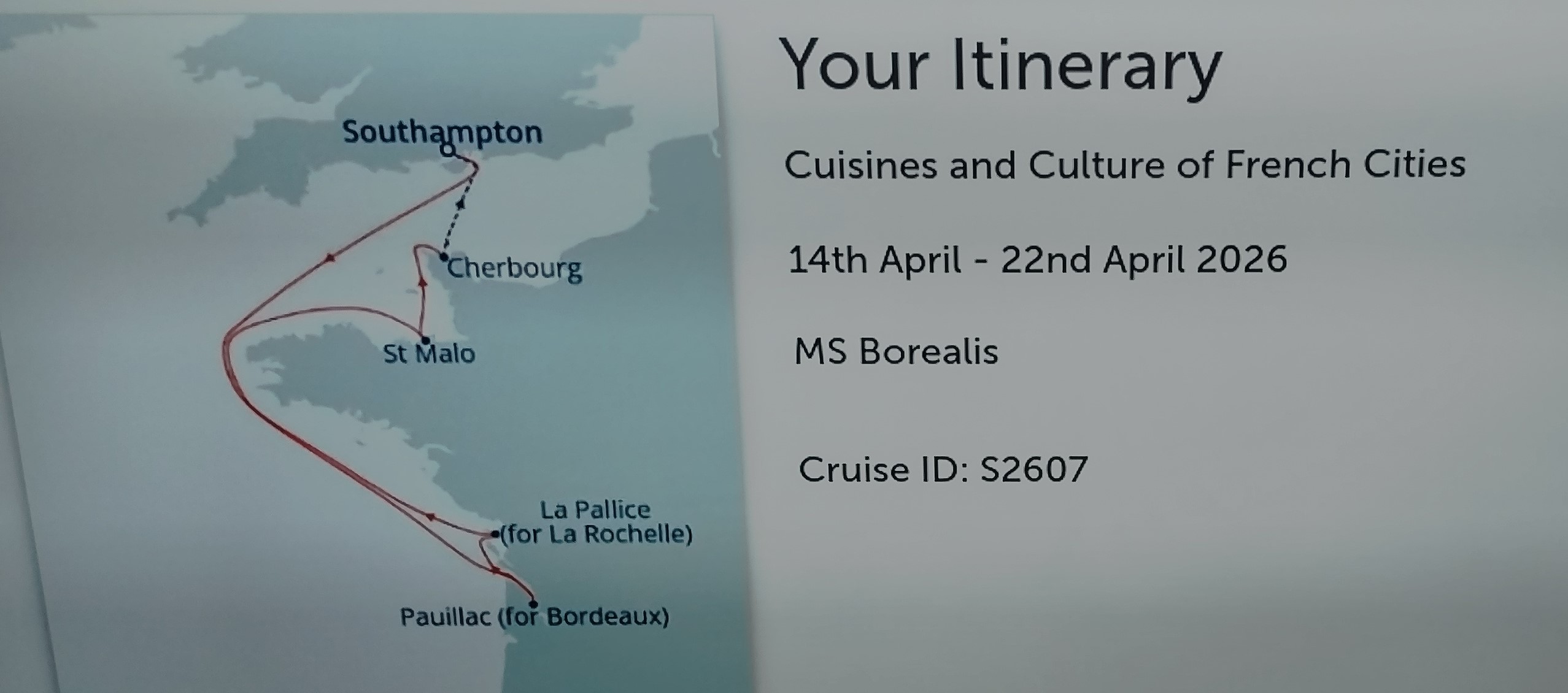
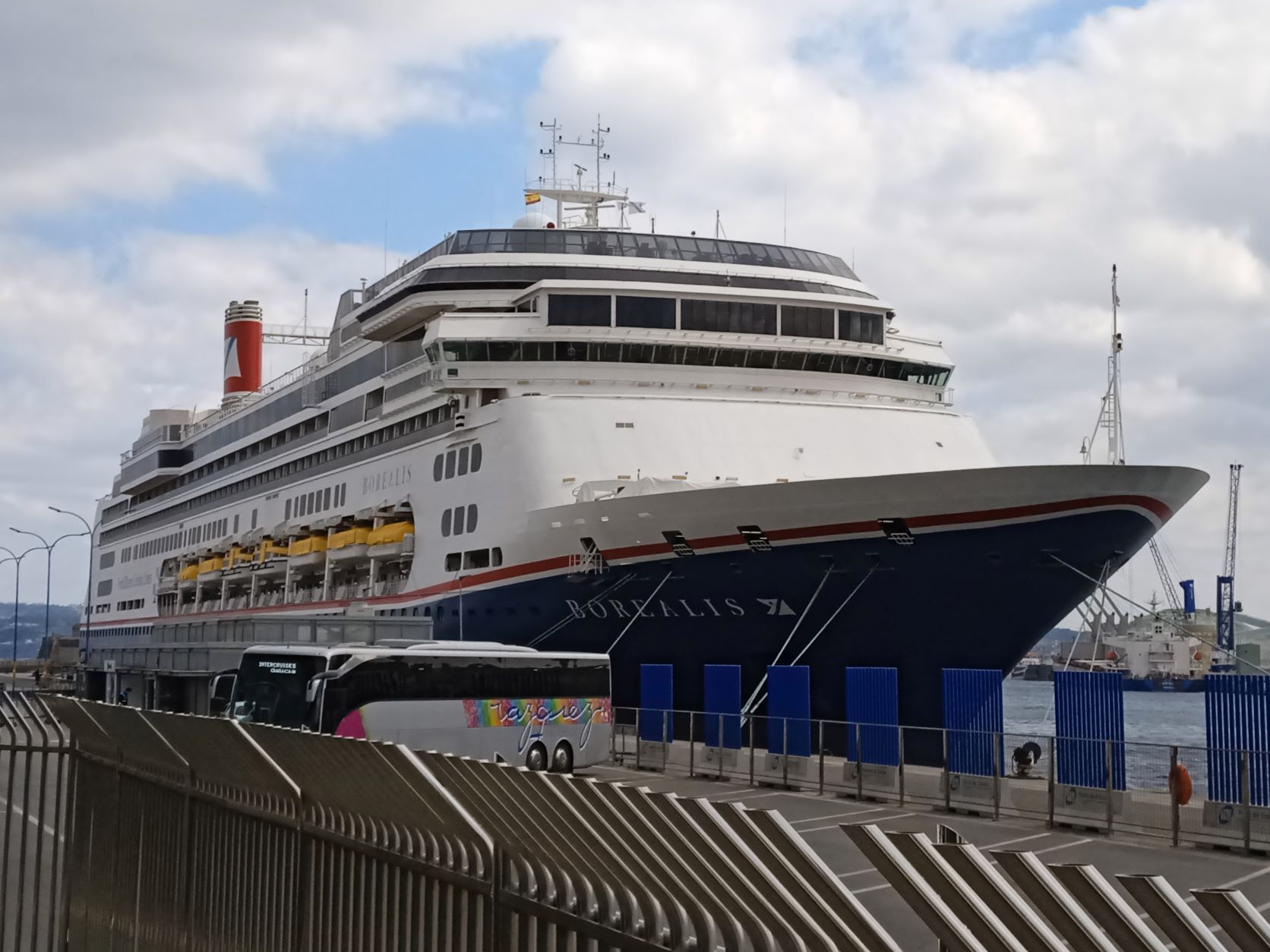
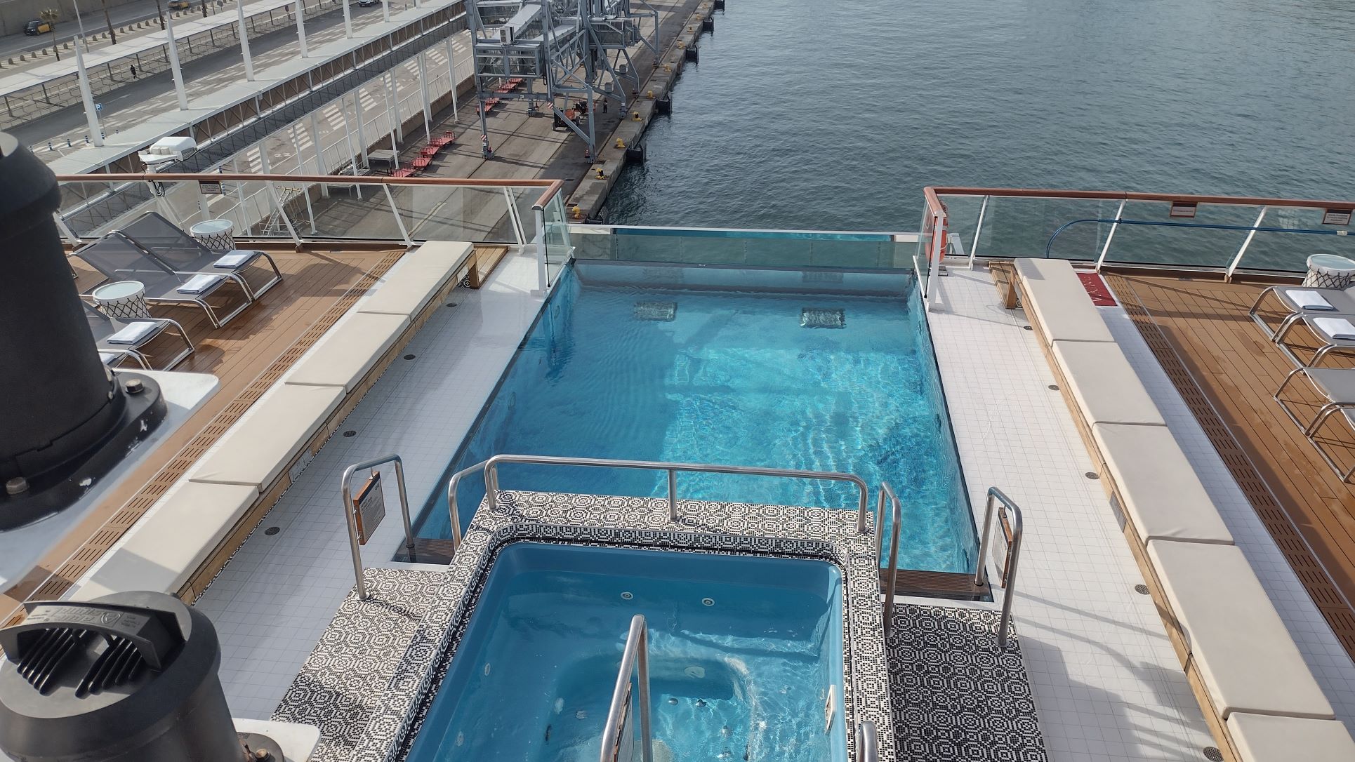
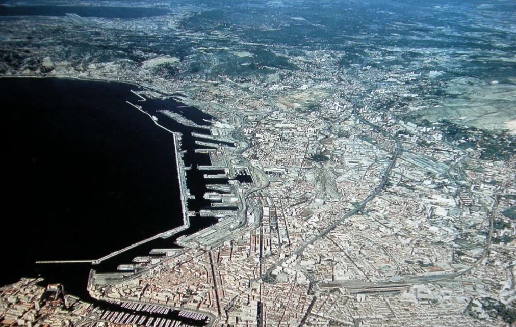
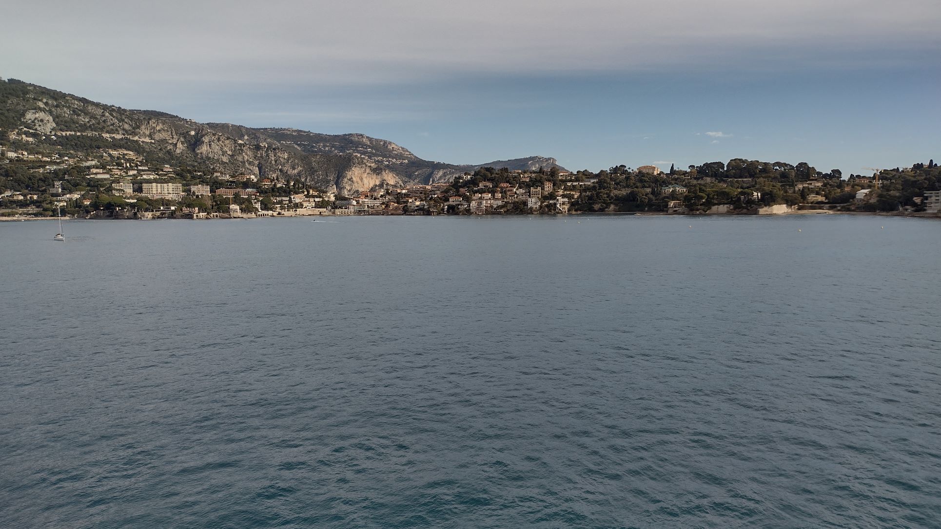
At 07.00 we arrived at Pauillac. The Captain had explained last night that he had never been here but that did not really matter as it was thick fog so he could not see anything anyway. The town is located in the estuary of the river Gironde and the river is still very wide and deep here. So nearly any sort of ship can dock as the length of the berth is 300 meters plus. I came by here the last time in 2010 with the ms Prinsendam but we went up the river all the way to Bordeaux. The Prinsendam could do this as her funnel was lower than the clearance height of the bridge just outside Bordeaux and the length of the ship was just short enough to swing around in the river at high tide. According to the french pilot it “izzzze not possible to zwing on ze low tide az-ze the zhippe will go bumpe”. He spoke english with a distinct french pronounciation. Luckily here at the much wider part of the river, the chance of going “bumpe” is a lot less and thus the good ship Borealis docked without any hiccups.
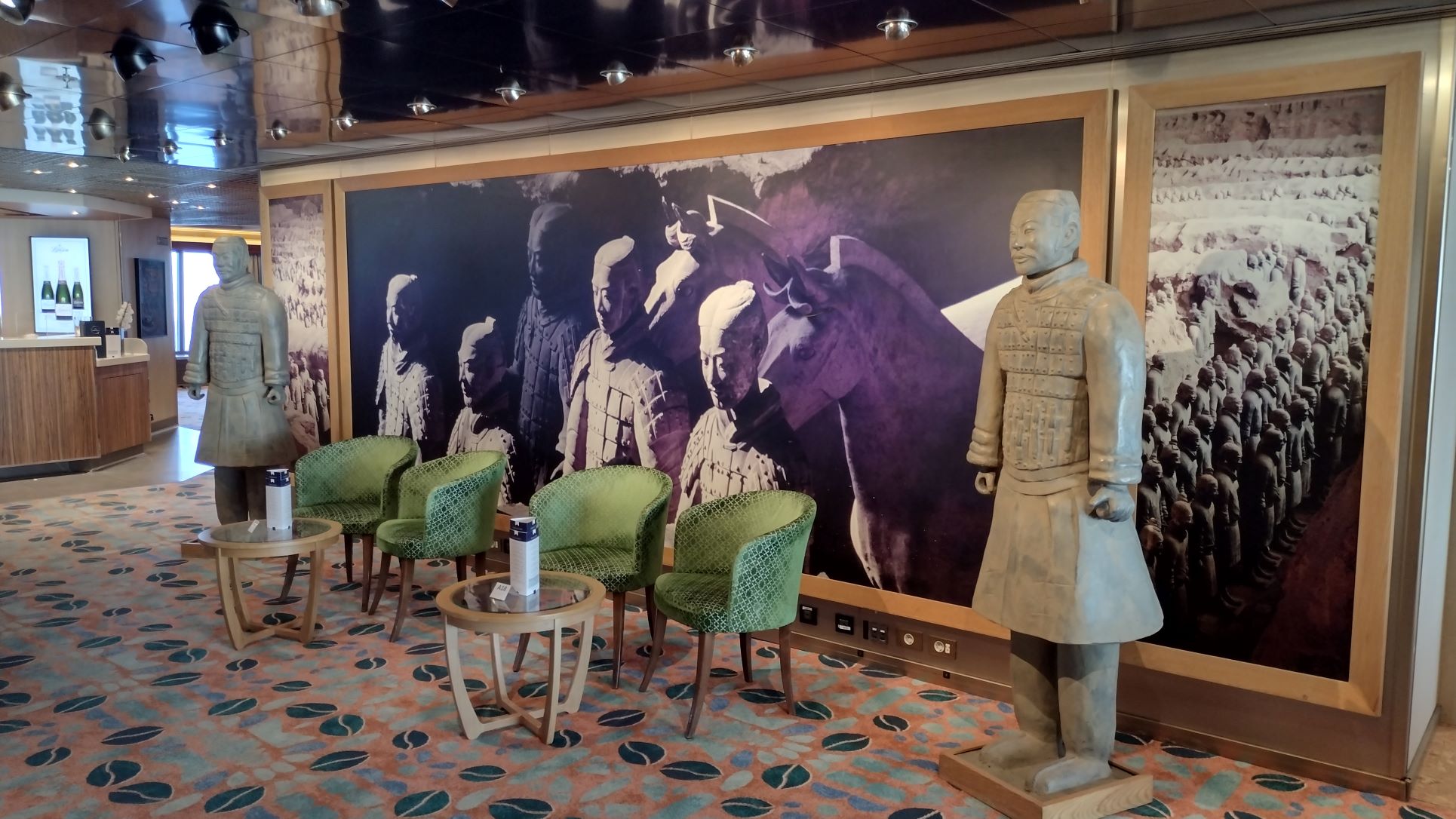
A left over from the Holland America Line days. Terracotta soldiers. I have no idea why Fred Olsen kept them, but it still looks nice.
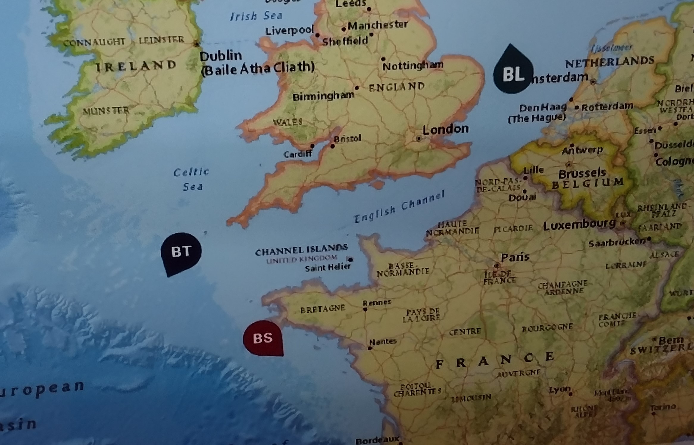
We are docked about a 1 mile down river from the town of Pauillac at a rather new berth, so I assume it was put in by the authorities to entice large cruise ships to visit, and then for the guests to go by coach to Bordeaux. There is a smaller dock, more of a breakwater to protect the local marine just outside the town, and that was used by river boats today. We saw their guests lateron marching accross to the road to go and visit a local winery.
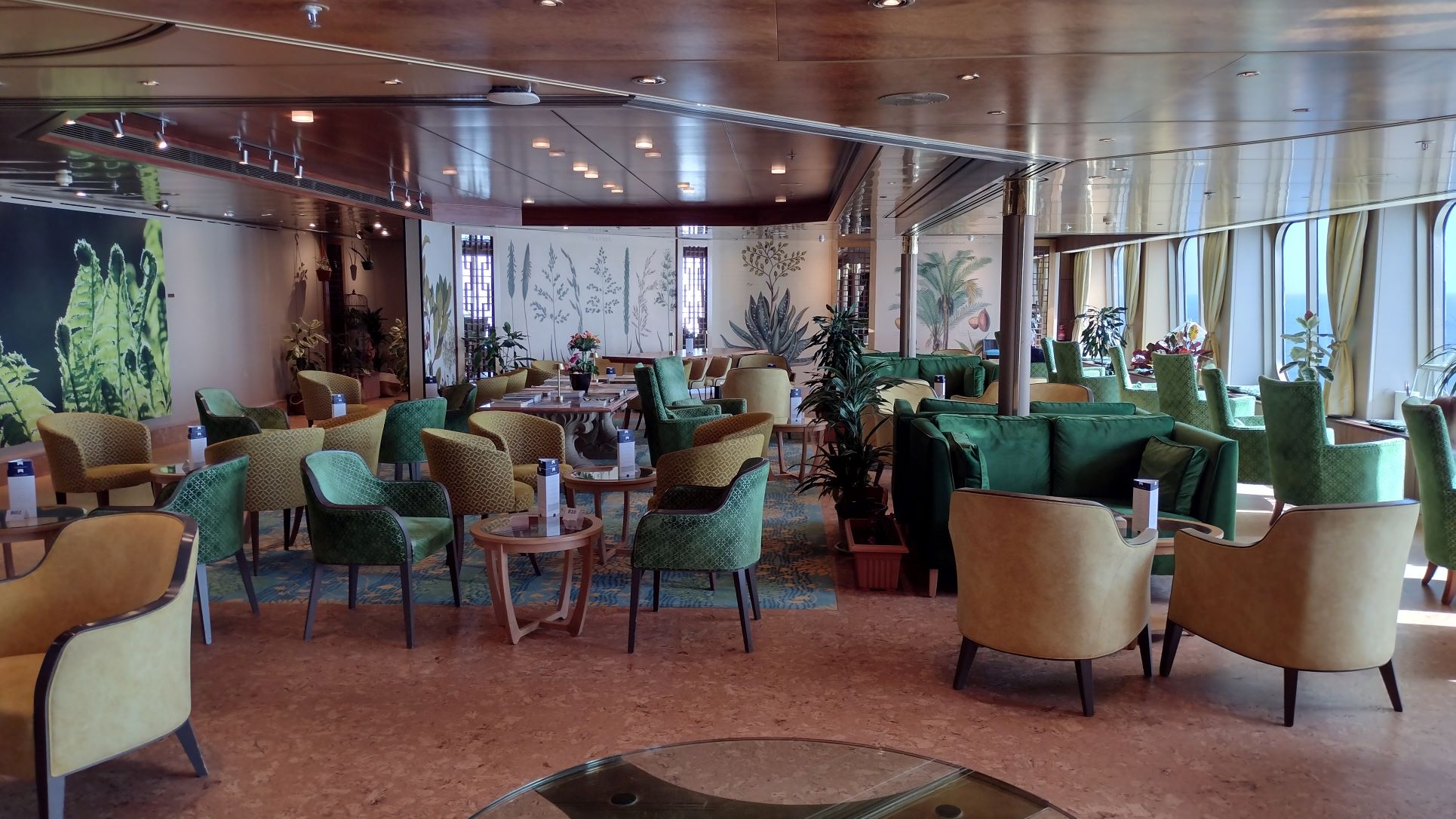
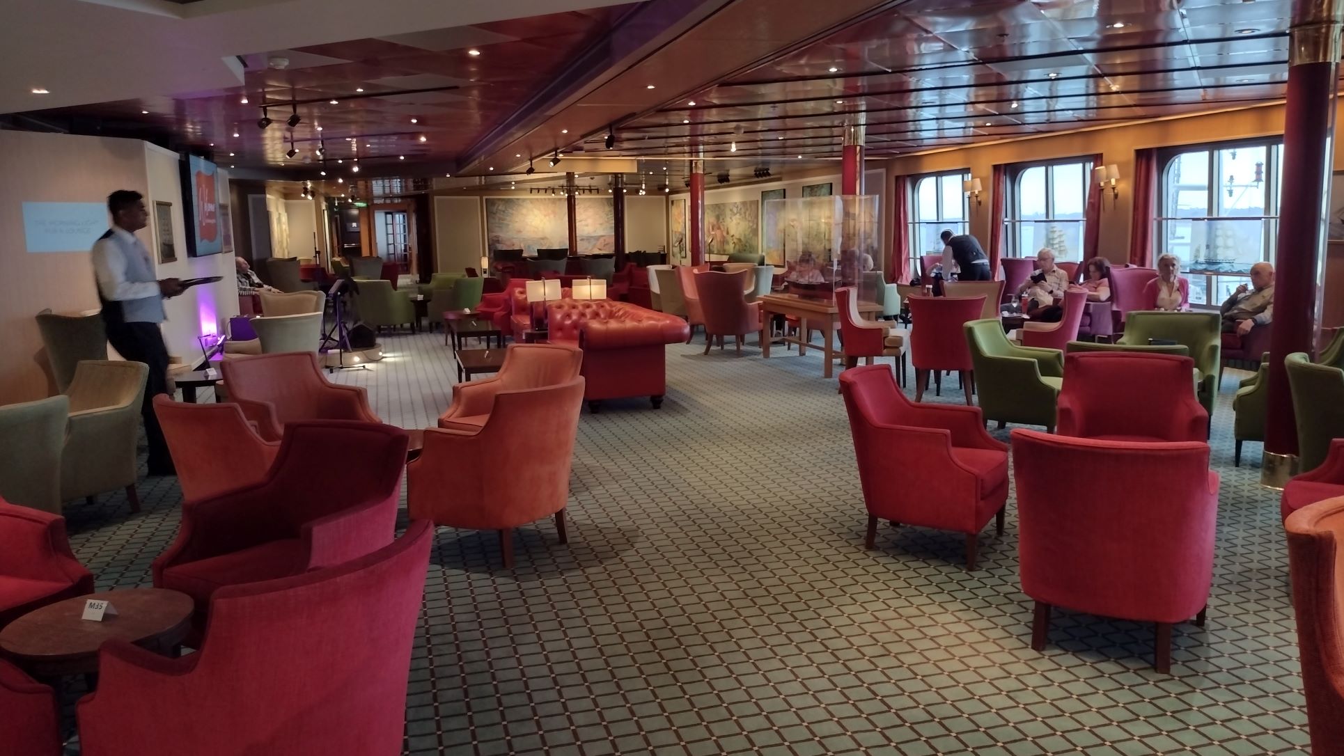
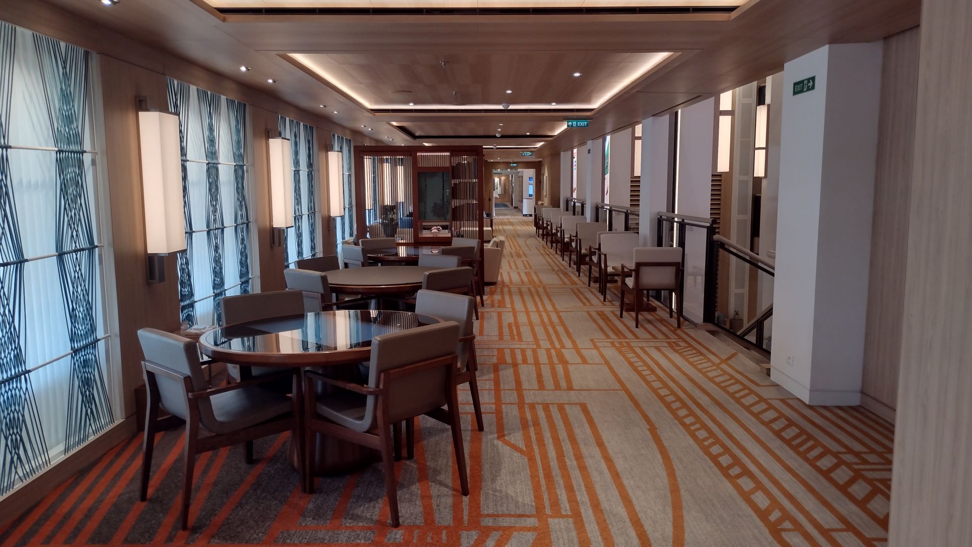
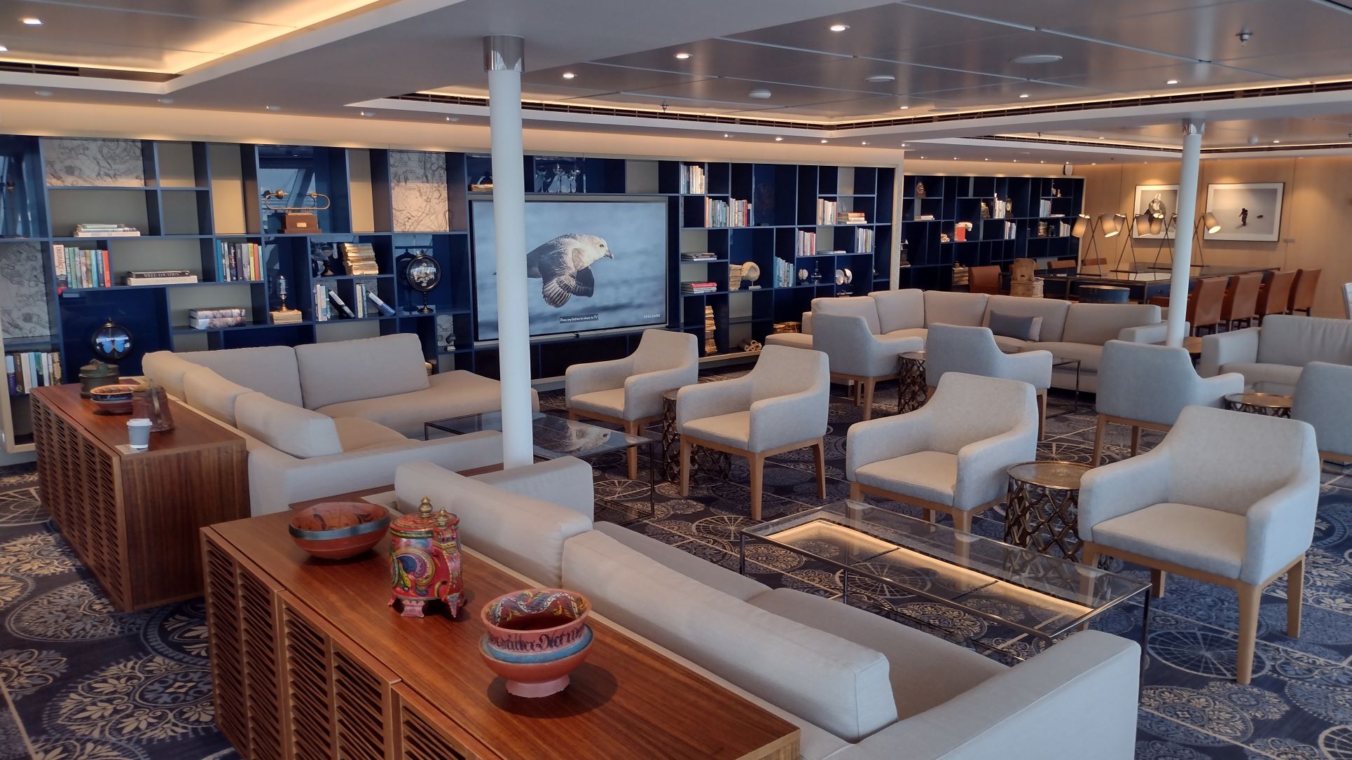
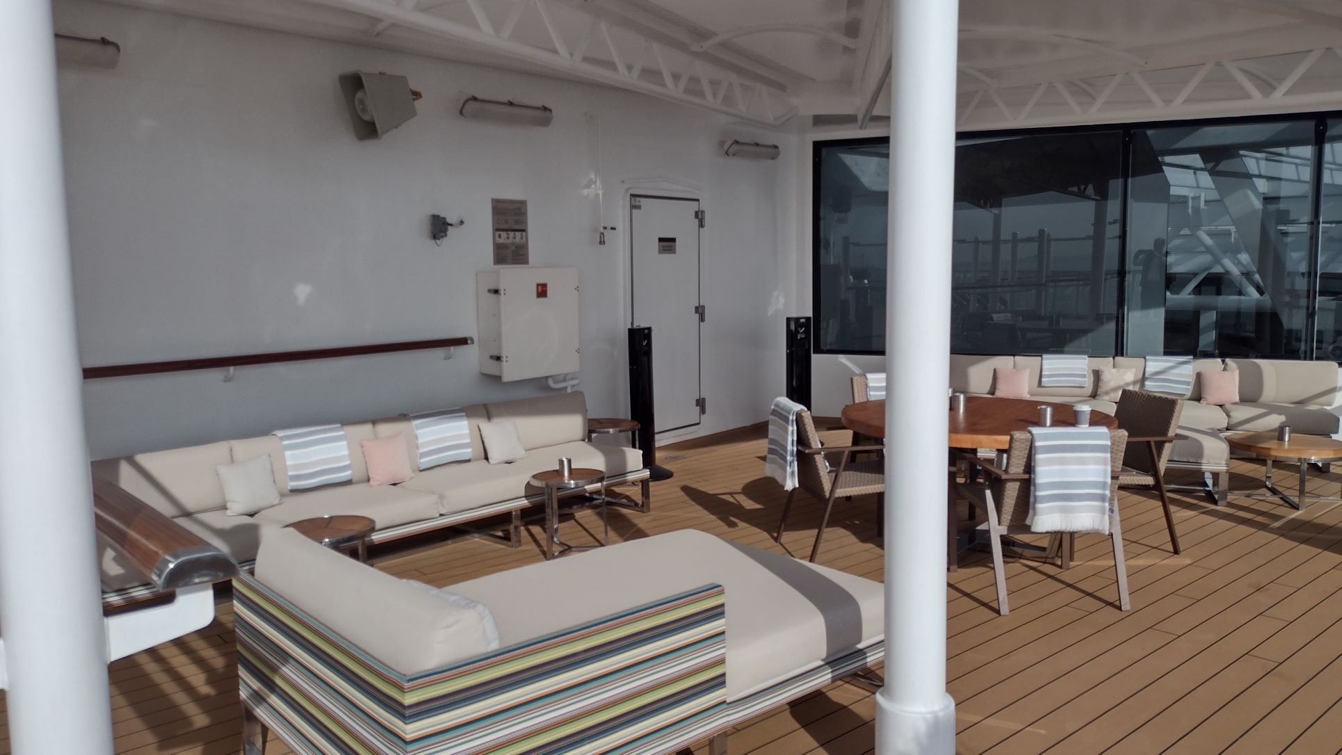
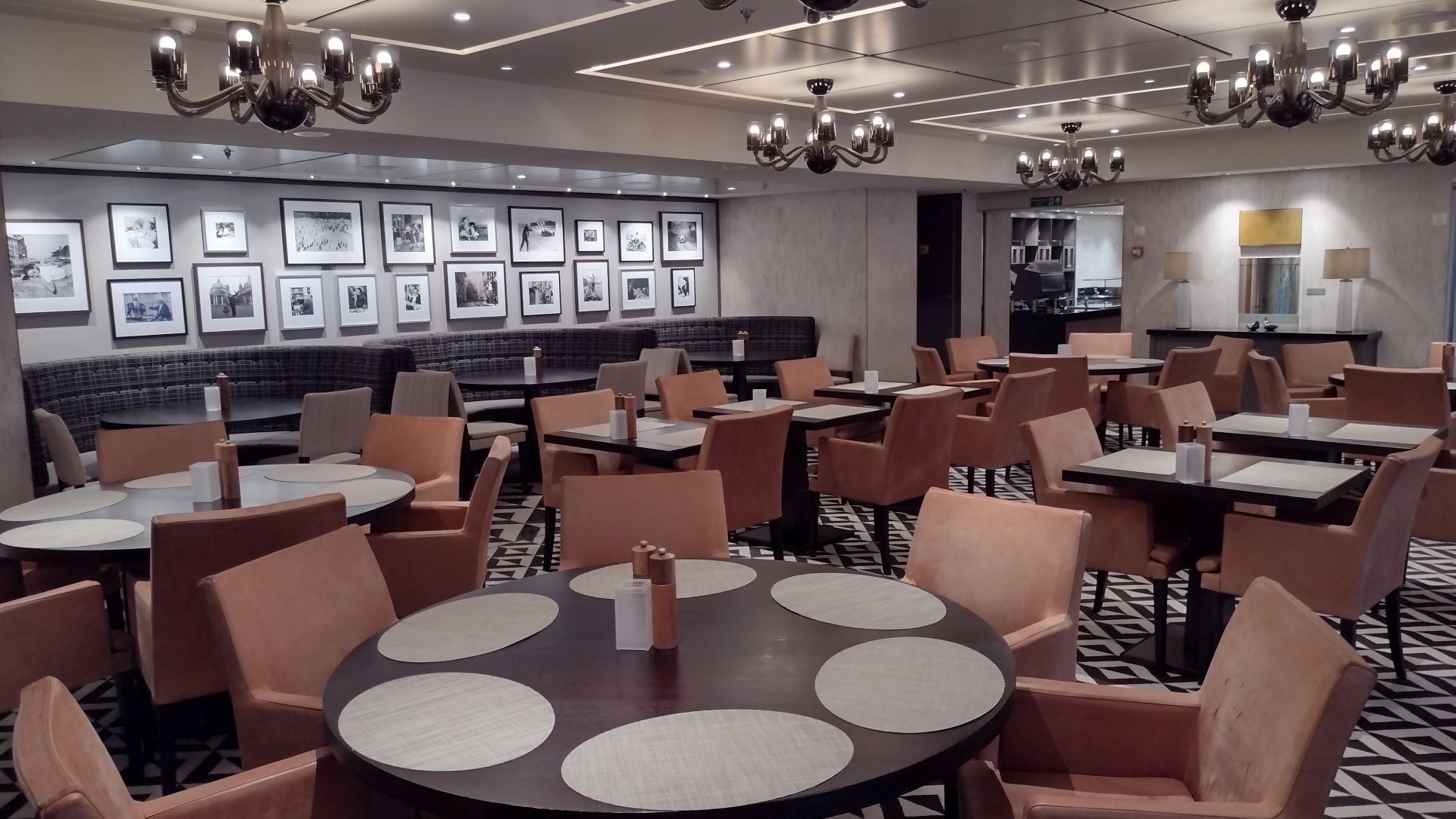
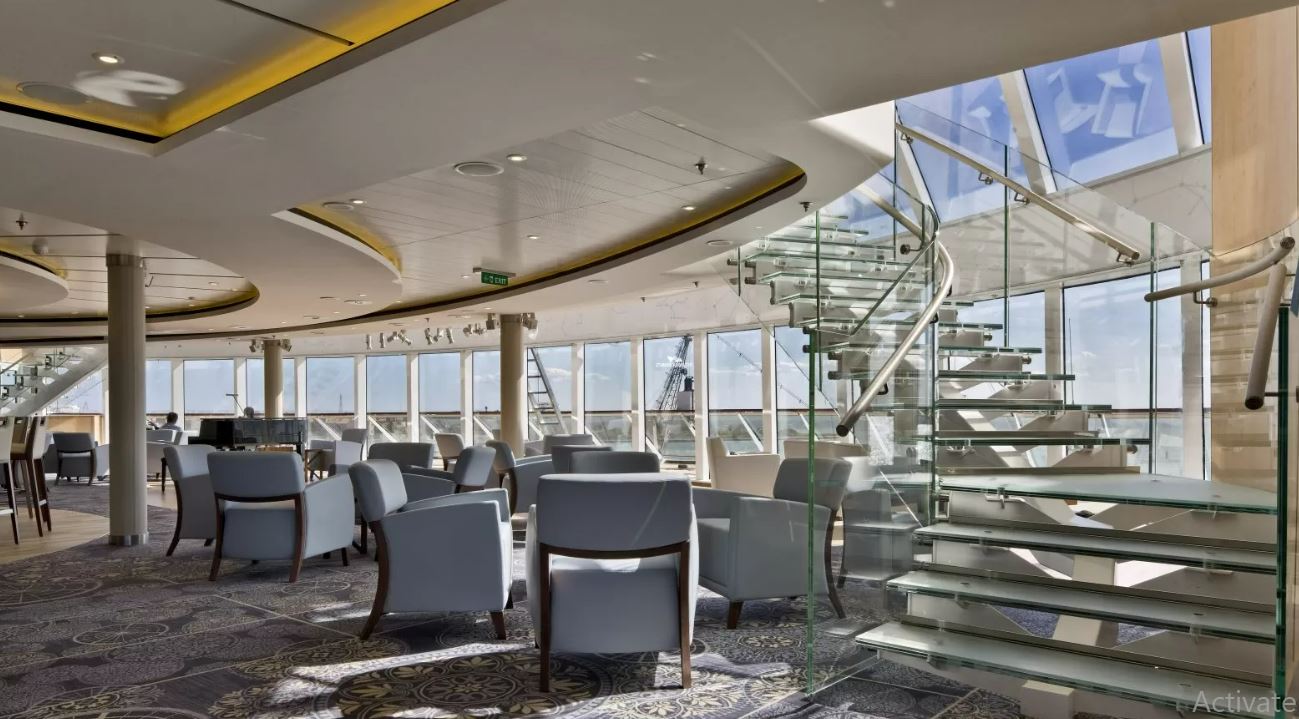
A change from HAL days. The whole Explorer Lounge was changed directly after take over, into a chinese tea room and Garden Room. See here the garden side. As nearly all British are wild about gardening , this works very well on this ship even if not expected on a cruise ship. In the morning this place is really full and many guests are examining the gardening books laid out on the large center table.
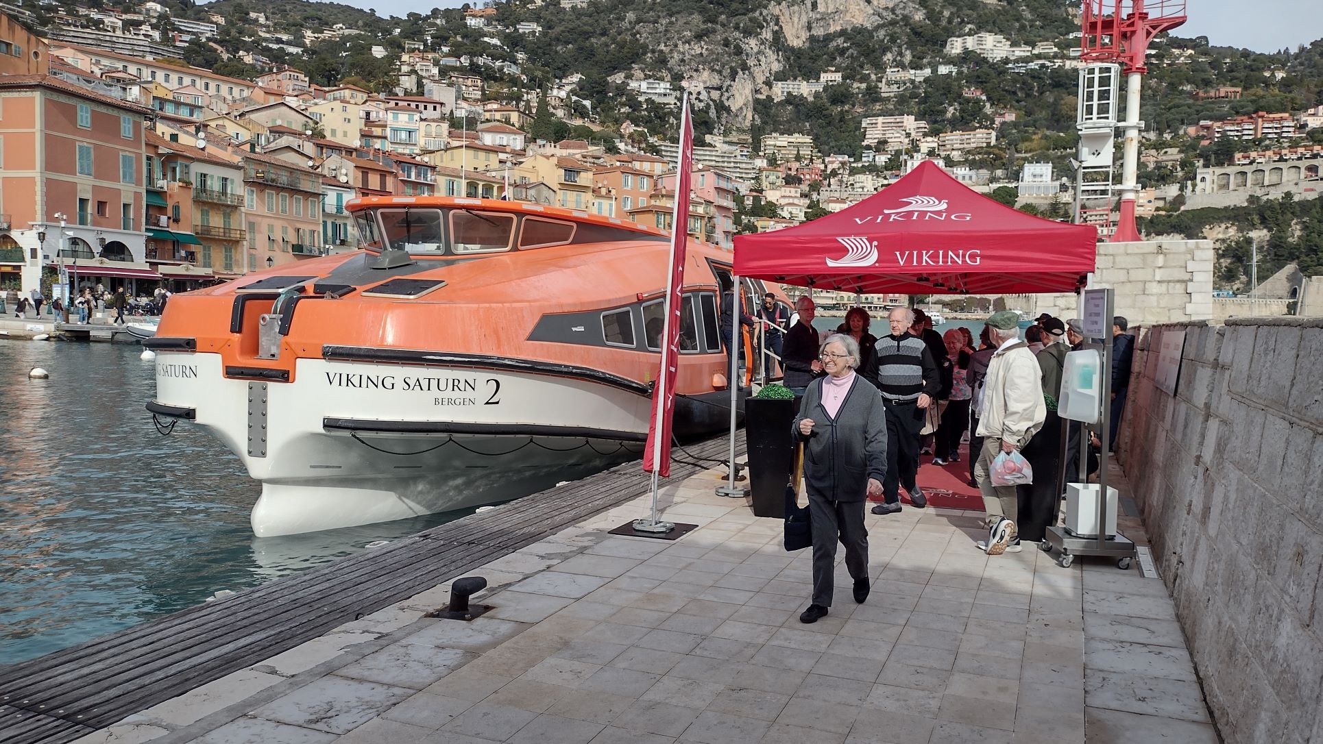
And that is what Pauillac is all about. Wine, wine, wine. The town itself has over 20 wineries and estates and the local Office du Tourism, is nearly completely dedicated to selling wine and accessories such as bottle openers, which are available in a dizzying variation of designs. Due to the mile travel distance Fred Olsen had laid on a 15 minute shuttle service; first stopping at the train station for those who wainted to take the train to Bordeaux and then at the Tourist office for those who wanted to inspect downtown. With taking the train came the advise, that as it was a branch line, the service was not very frequent and ” sometimes did not go at all”. Luckily in this case not a big problem as we are here for 2 days so everybody can make it back even when delayed by a train “that did not go. The shuttle service also ran through the night, albeit with a lower frequency but I think not many will have gone ashore during the night as the nightlife here in Pauillac only seems to consist of a Pizzaria staying open past midnight.
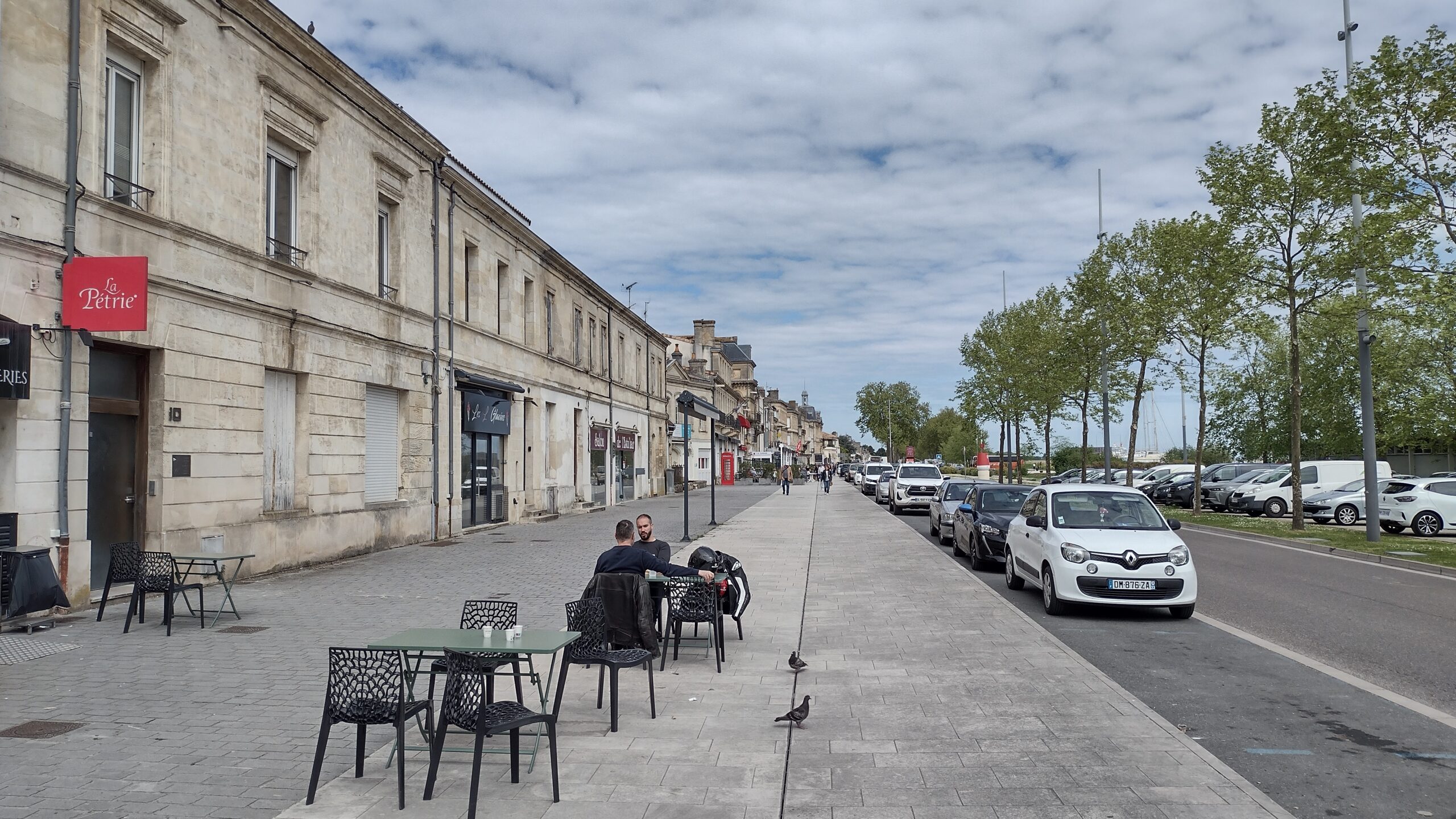
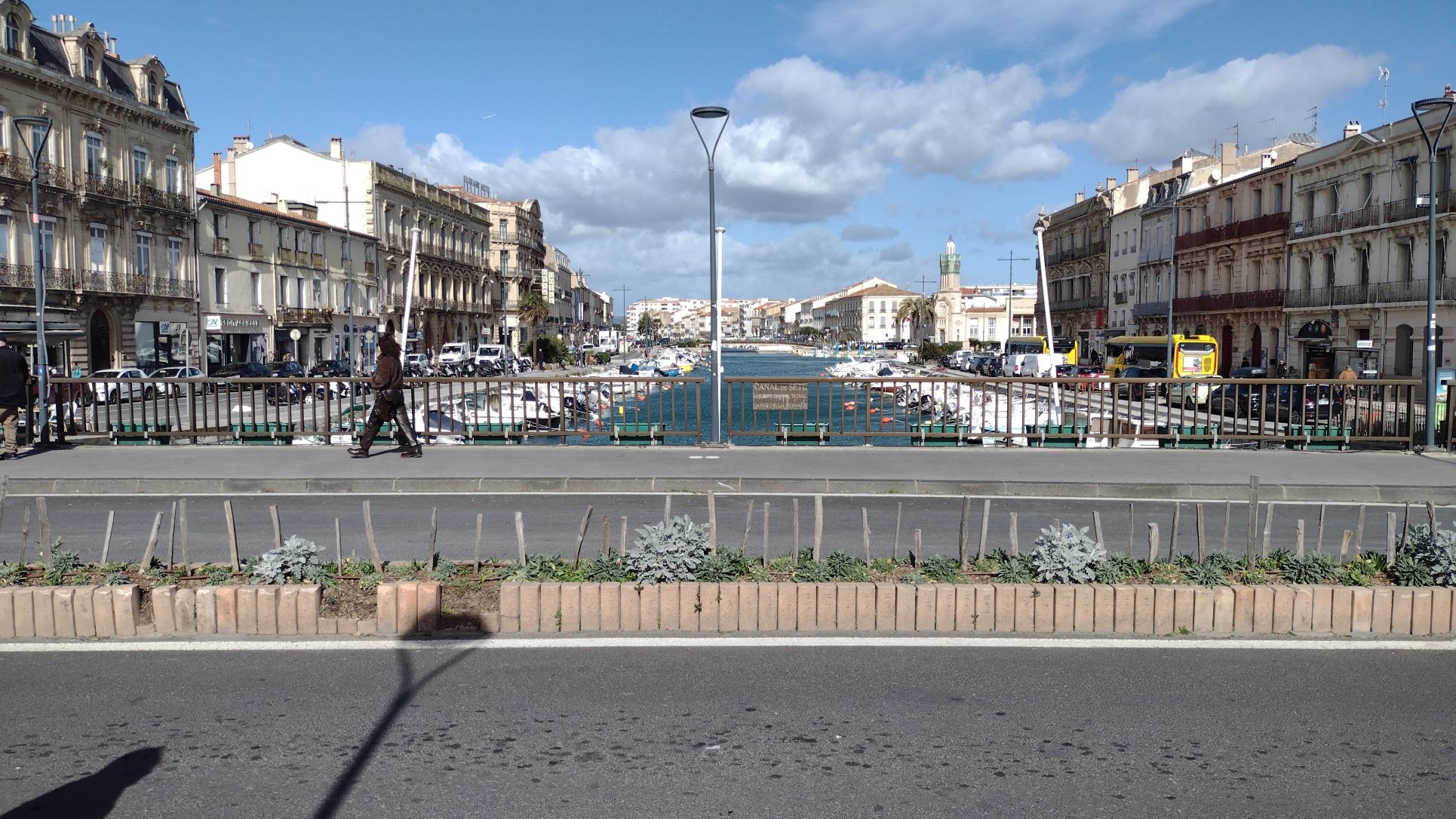
The Boulevard of Pauillac following the rivers shore line. As one can see it is not the most exciting place and the road is a main district road which can be very busy. But the place is all about wine and not about regular shopping or night life.
We decided to go ashore around 11.00 once the rush at the shuttlebus was over. The ship was conducting a General drill and we were treated to announcements over the General P.A system. This is understandable for drills but the ship does it for nearly everything. Arrival announcements in the cabin, Cruise directors updates in the cabin, gangway movements due to the tides etc. Luckily this captain is not big on announcements but Fred Olsen has another Norwegian captain who likes making announcements and standard comes into the cabin just before departure. If that is in mid afternoon he upsets those having an afternoon nap. Not for a short announcement but with reading out half of the Berlitz Guide write up for the next port. And that all with a grating Norwegian “Hu-de-Buh” accent. It can really spoil your afternoon nap. Announcements can be made, like it was done during Holland America Line times, over the tv on the “View from the Bridge” channel, but this is not used here and everything comes into the cabin. Maybe appreciated by all the hearing aid owners on board but not by me, I like my piece and quiet when in the cabin. Well that was my rant for the day.
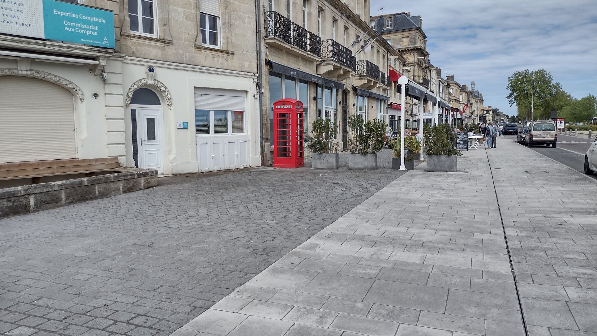
Another shot of the boulevard of Pauillac. How a British telephone box ended up here, I do not know but there was no telephone inside. Maybe once in the past it had a direct line to the UK, especially for British home sick tourists. Who will ever know how it came to end up so far into the French Country side.
Company’s are nowadays required to make regular announcements to keep the guests informed and knowing the ship intimatelly, I could follow the proceedings quite well. Fire on B deck with the assembly of the teams outside the Engine Room meant that the fire was in the cold room/ store room area as the assembly station always has to be 2 vertical sections (e.g. 2 firescreen doors sections) away from the fire. The area of the fire is called the HOT zone, the first area away, the WORK zone (only people in breathing apparatus allowed) and the 3rd zone is called the SAFE zone, where everybody is allowed to assemble and support the teams who are going to tackle the fire.
The shuttle service was extremely well organised with English speaking traffic controllers at both ends of the route and the shuttle service ran on its 15 minute cycle, even during French Lunch time when it is not uncommon for a shuttle service to be completely shut down for an hour. By the time we arrived at the Tourist office and the end of the downtown boulevard, most of the town had gone for lunch so shops and all related were closed. The cafe’s on the boulevard were all open and were doing a roaring trade with about 50% French and the rest English and American customers. Unfortunately the mussles are not in season yet (July to January) otherwise we would have gladly joined in. You can of course find restaurants who serve mussles (frozen) all year around but this is sort of frowned upon by many french restaurants.
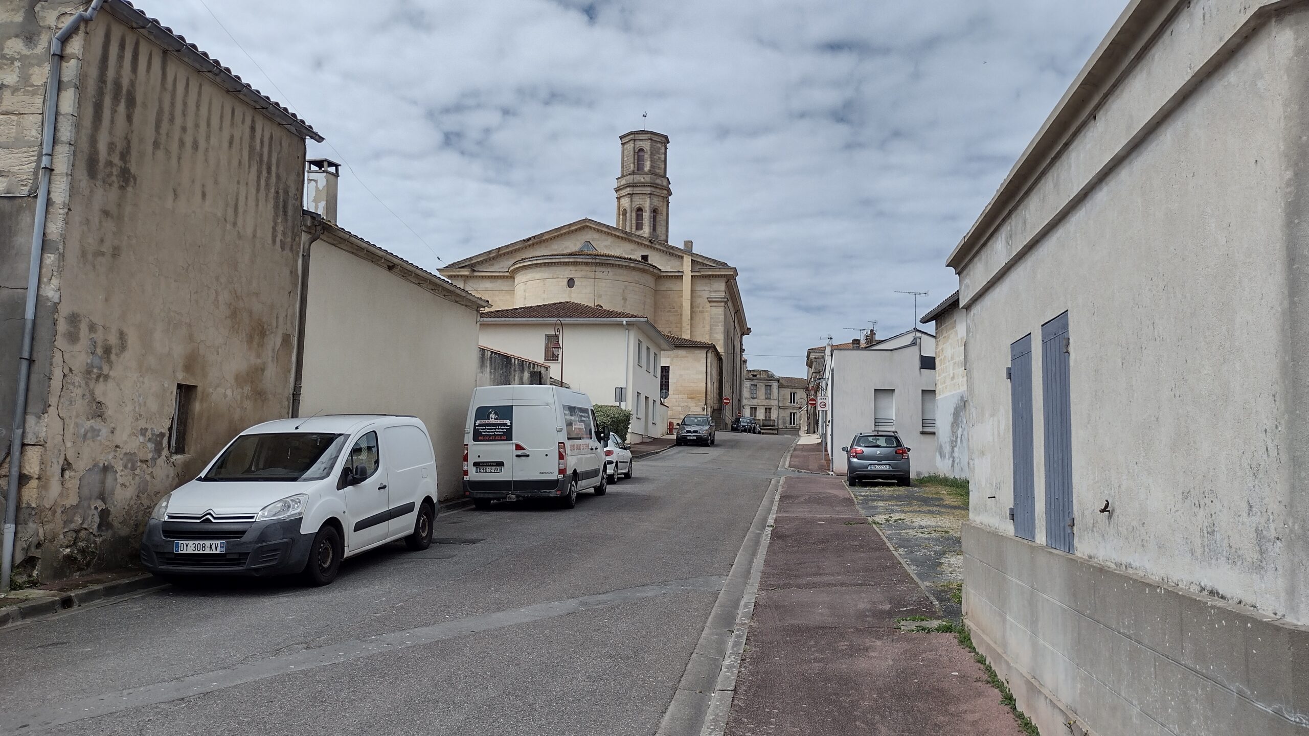
This is the main historic highlight of the town, the church of Saint Martin, rebuilt in 1826. They charge 5,– Euro admission but unless you are really into churches, not the most exciting place to visit.
So we walked the front streets and the back streets and did not see a single (french) soul. The church of Saint-Martin is a bit of a strange happening as it was a rebuild of a previous church. This one was razed down when it became too small and then by using materials from another church down the road, a new church was cobbled together in mid 19th. century Greek Style. It resulted in a very austere design and definatelly did not have the “wow factor”. But because of living in England we are spoiled anyway as even the local church in our local back garden is from the 12th. century with all the stories to tell that come with it’s history. Then her ladyship wished to inspect the local supermarket to see if the prices were similar to those in England. They were. Petrol prices were higher than in the UK but that had mainly to do with the amount of tax levied on the basic petrol price by the French Government. For the rest the prices were much higher than recently, courtesy of Ball-room Johnny and his activities in the Middle East.
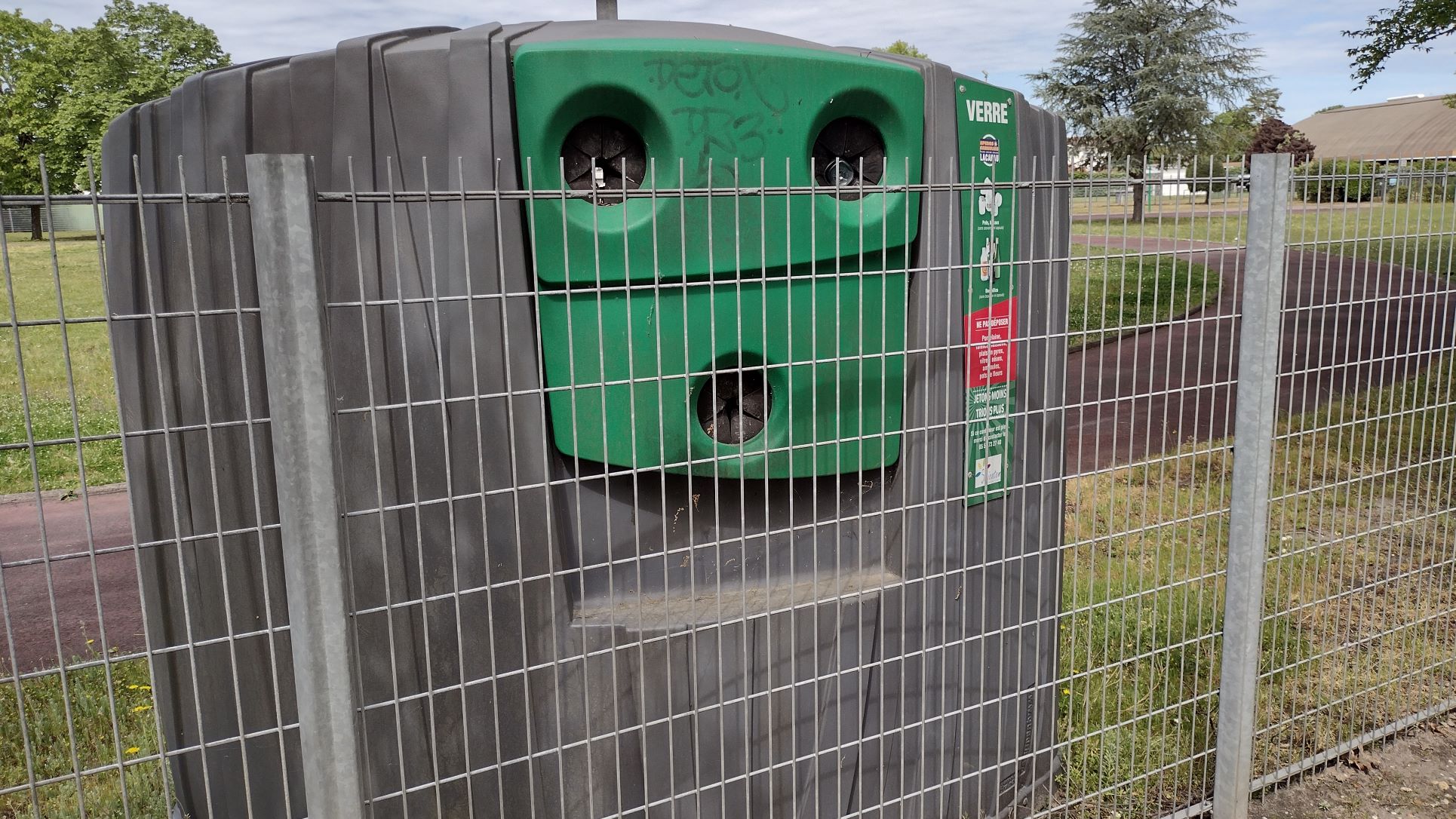
I could not resist this photo. It seems that the local authorities are really concerned that somebody would steal heir bottle bank, so they put a fence in front of it. But it was still used.
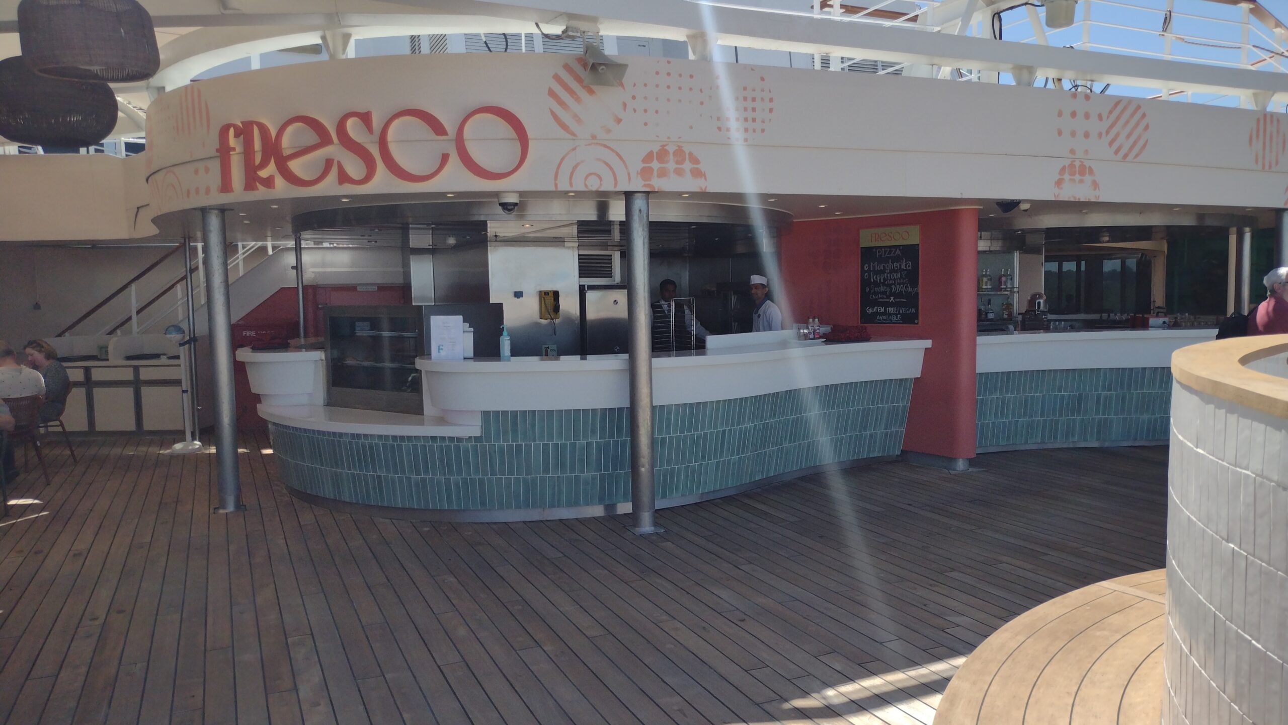
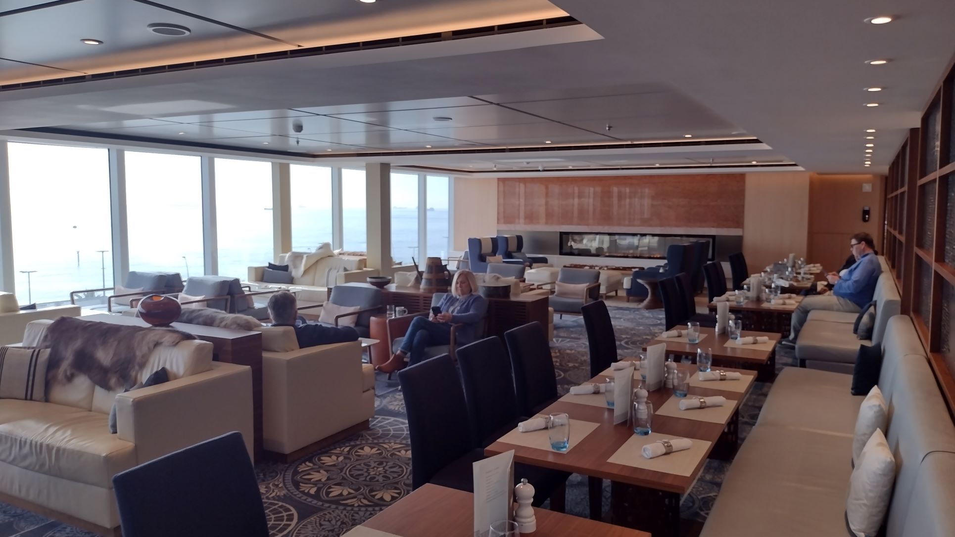
By 14.30 hrs. we were back on board and decided to test the pizza’s in the Fresco restaurant. That was a resounding success with the caveat that the free wine and beer for lunch does not extend to outside eateries on board. So I have to find out how it works for the small restaurant at the hamburger bar starboard forward of the Inside pool as it is inside. Somehow it does not make sense but we do not really care whether it is free or not. How much free “chateau plonk” and Heineken beer can you drink anyway ??.
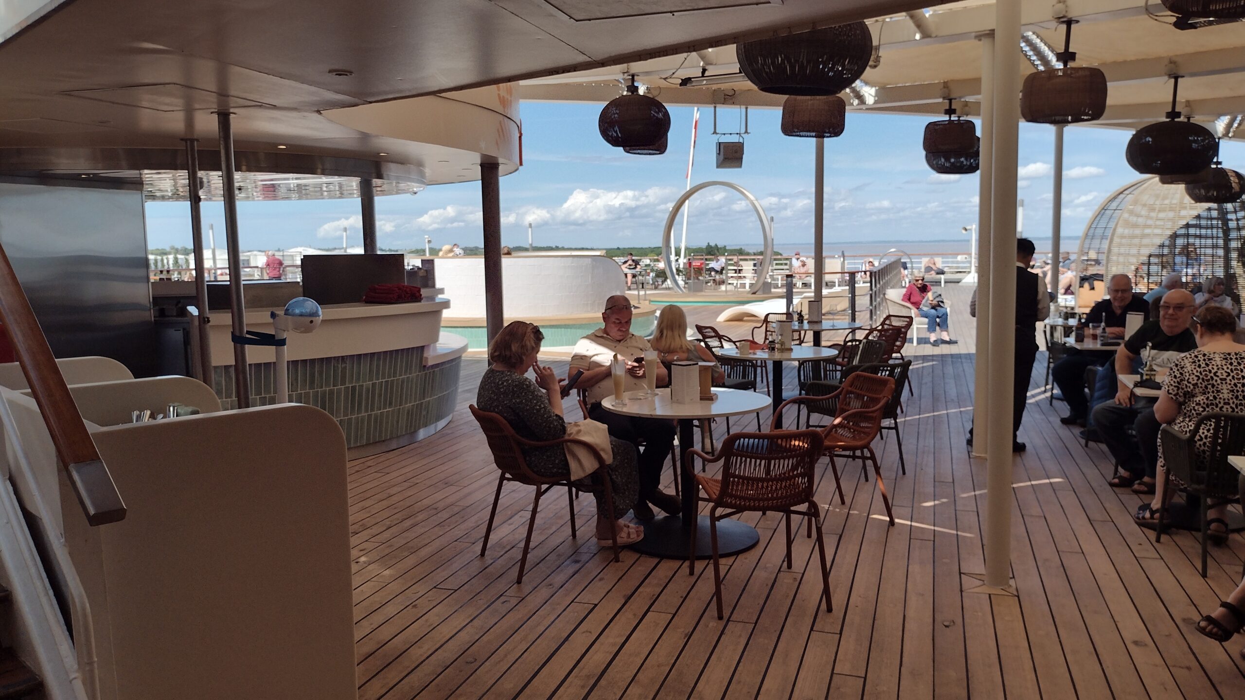
The outdoor “All Fresco” sitting area for the Pizza place. I like the layout much better than with Holland America as it looked a lot less gloomy.
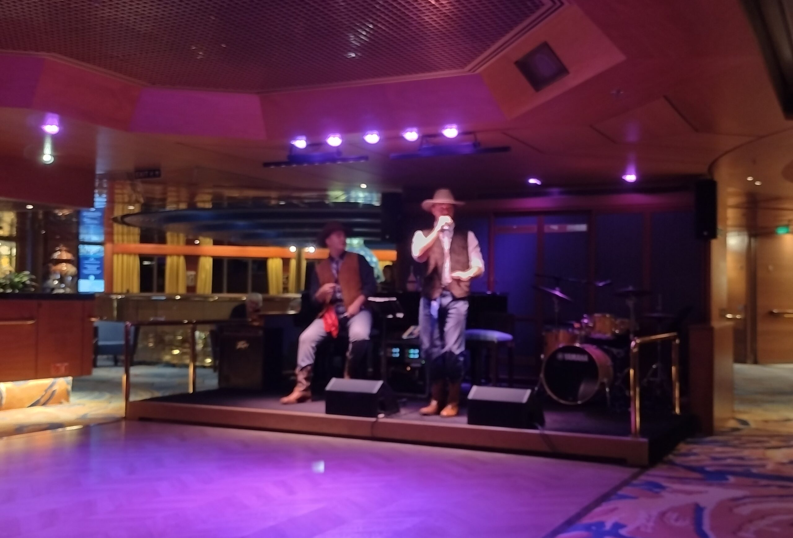
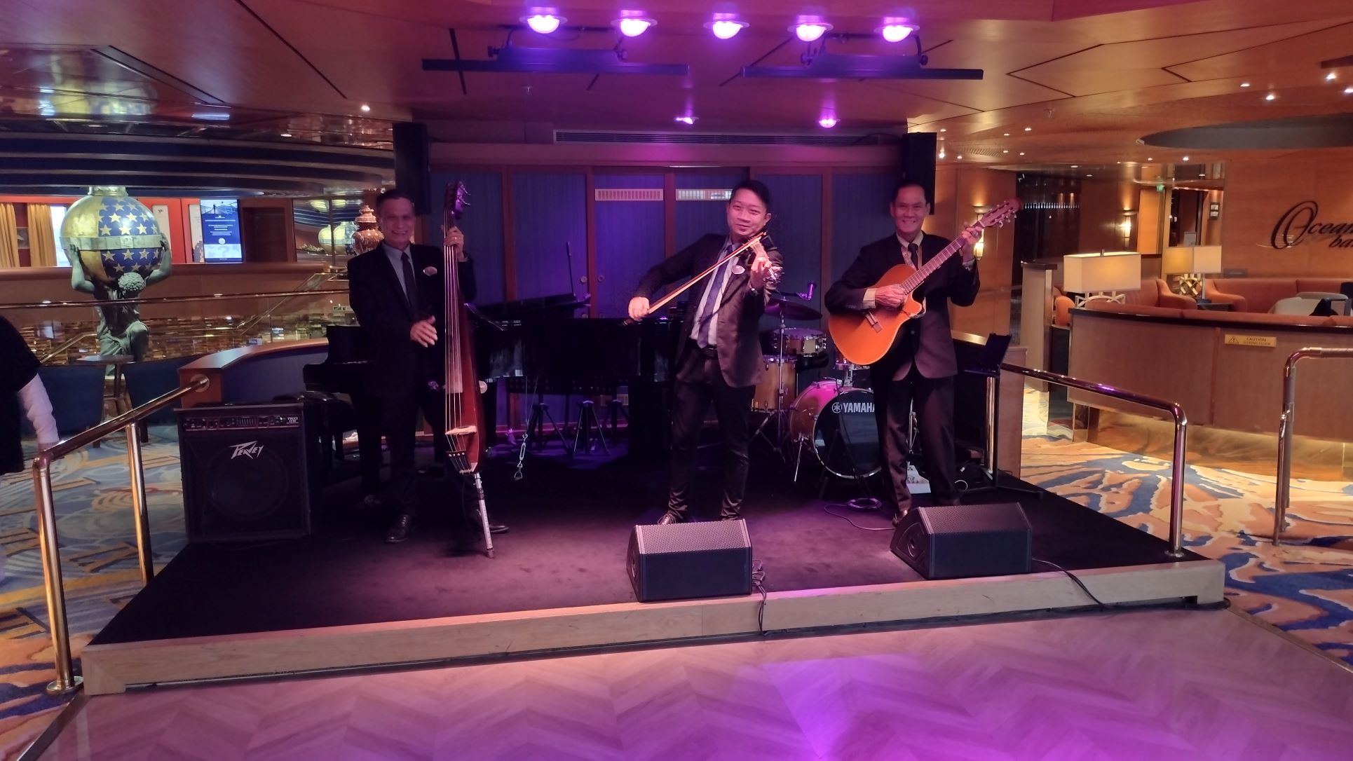
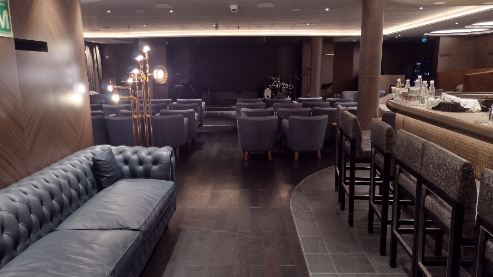
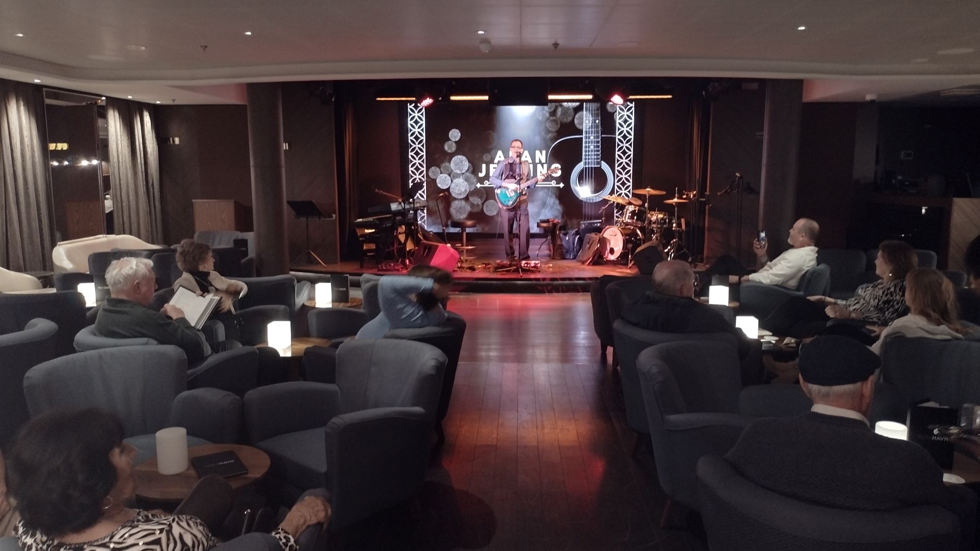
Then it was time to upload the blog and to get ready for cocktails at 19,00 hrs. For tonight we selected the Piano Bar on deck 5 with the Resident Piano Man Paul Burton. He has been with Fred Olsen for a very long time and a firm favourite of the guests. Or as he says himself, I am very popular with guests, waiting / killing time, before going to dinner. He prefers to play music, at least in the early evening, of composers long dead, and also tells then something of the background of these old songs. So this evening he dissected two songs from the movie Casablanca (Humphry Bogart and Ingrid Bergman) and I found out that the music in this movie was on average much older than the movie itself. It was just repackaged for that movie. One is never too old to learn something new. So he promised to continue to reveal more of this useless and irrelevant information during the course of this cruise.
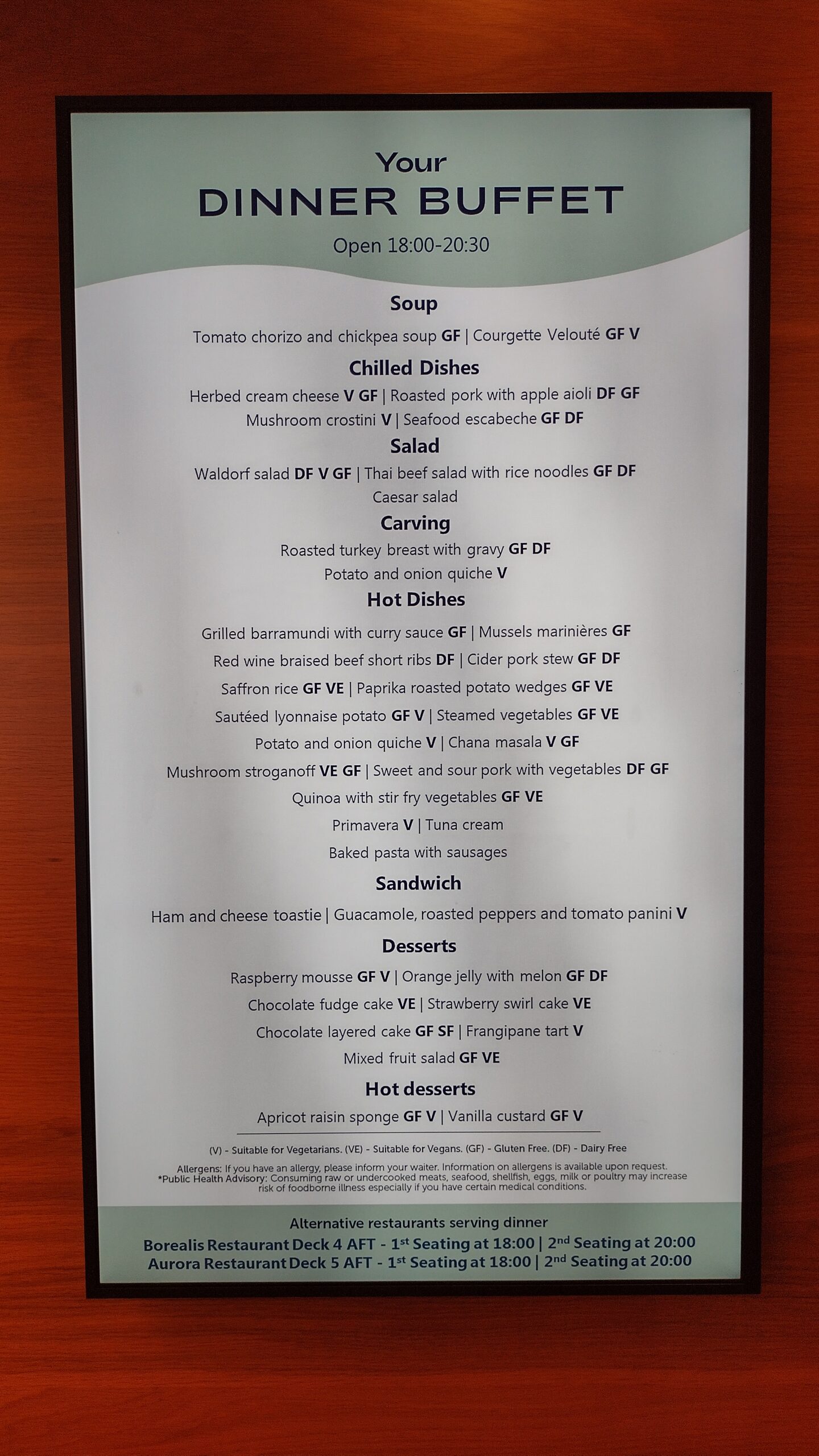
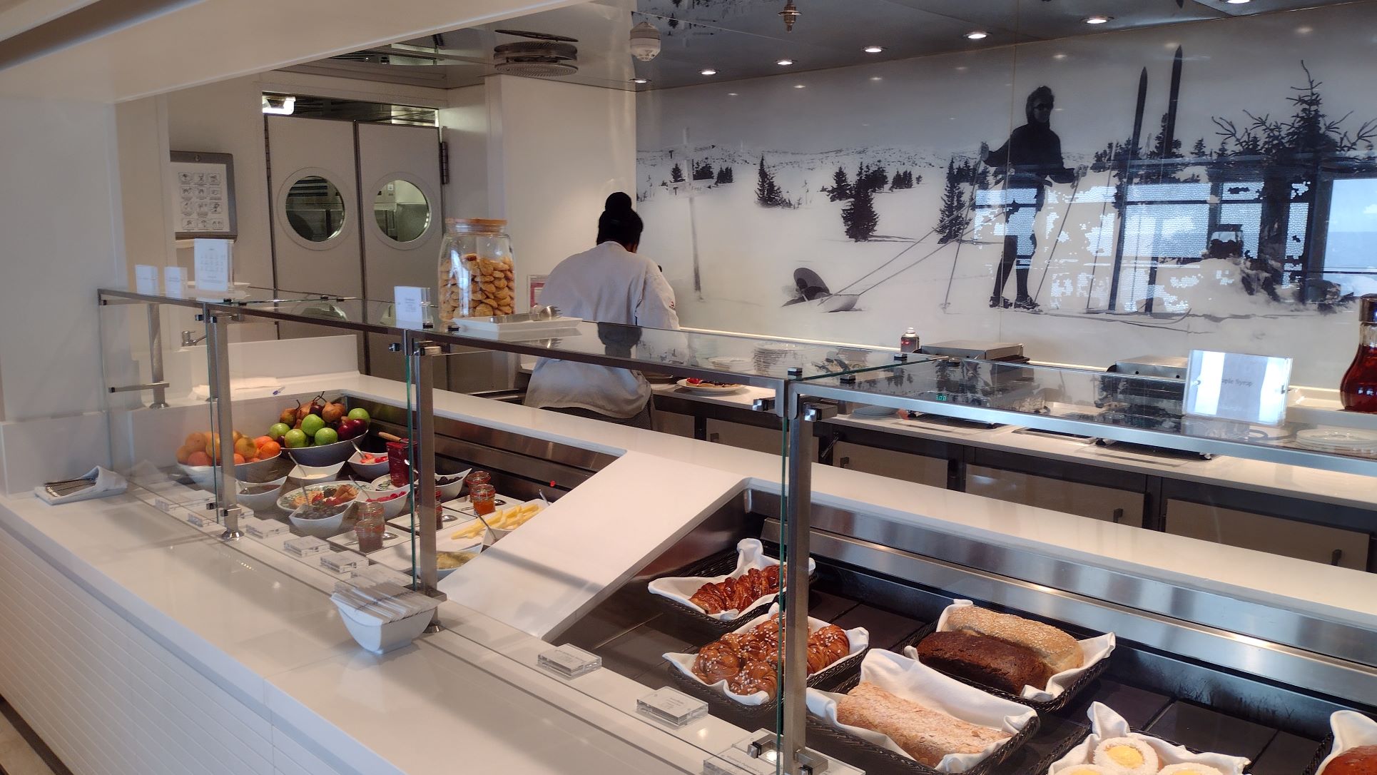
Dinner options for the Lido buffet evening meal. It is a buffet line, but not much self service as the cooks are handling the plates and also the tongs for rolls etc. It all helps to prevent Noro-virus from spreading.
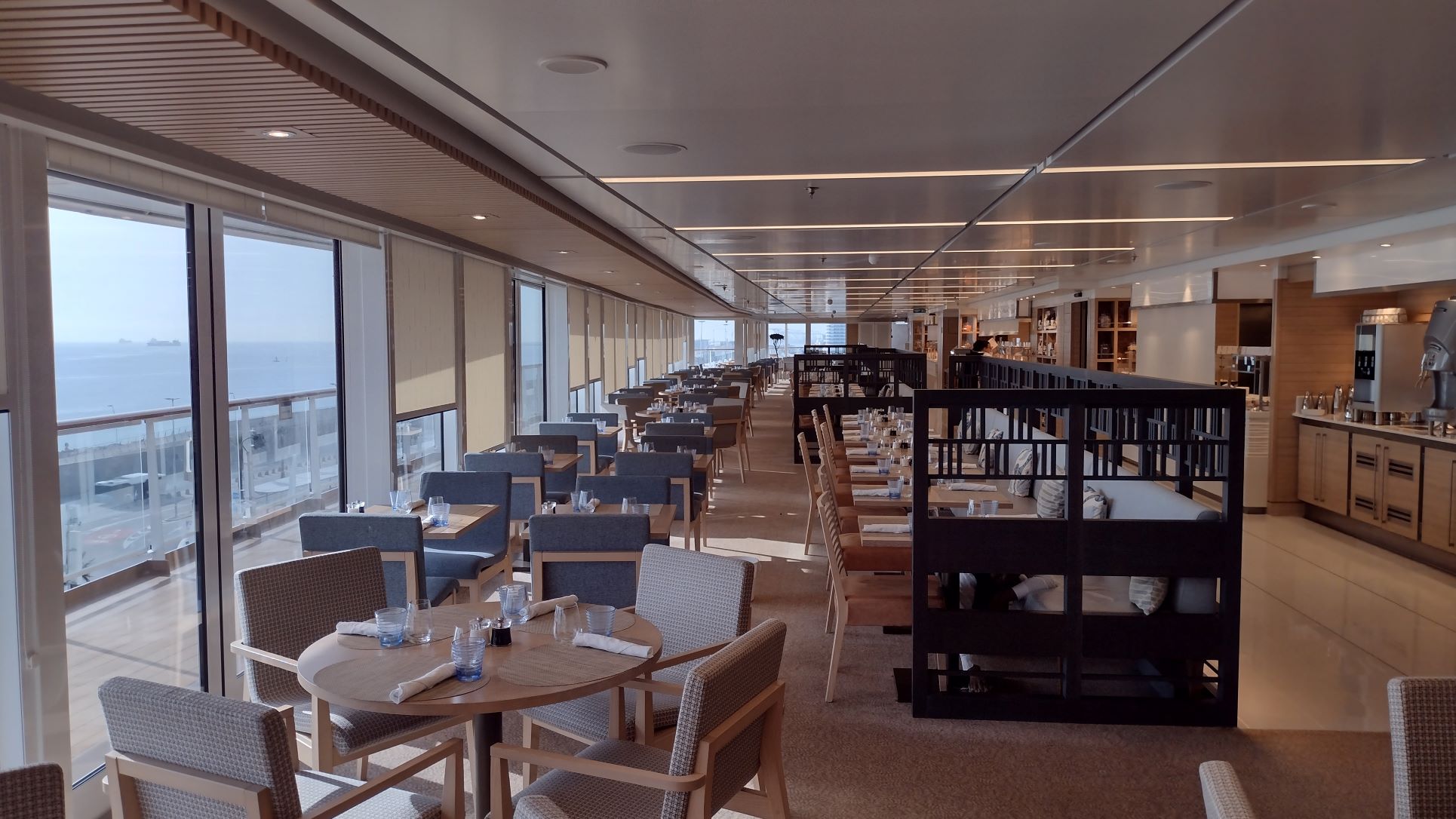
Dinner was of the regular good standard and as expected it was a much less hectic affair tonight. Guests where not marching in en-masse when the doors opened and I think quite a few went ” for casual” to the Lido restaurant, called “The View” here on the Borealis. Dress code was casual today and indeed a lot of T-shirts were observed but many gentlemen, including Yours Truly, still opted to wear a jacket or a more stylish tropical shirt.
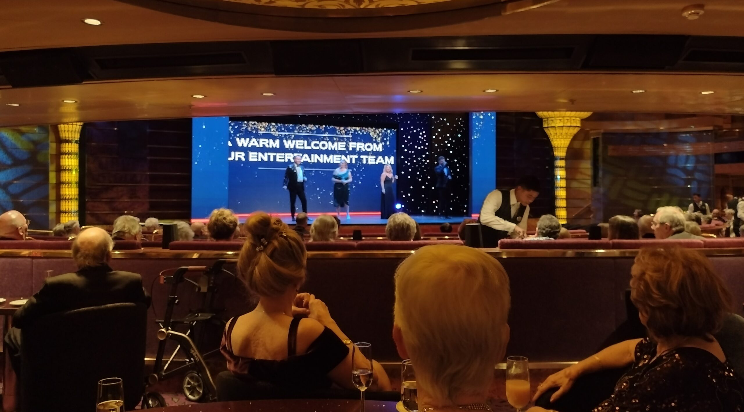
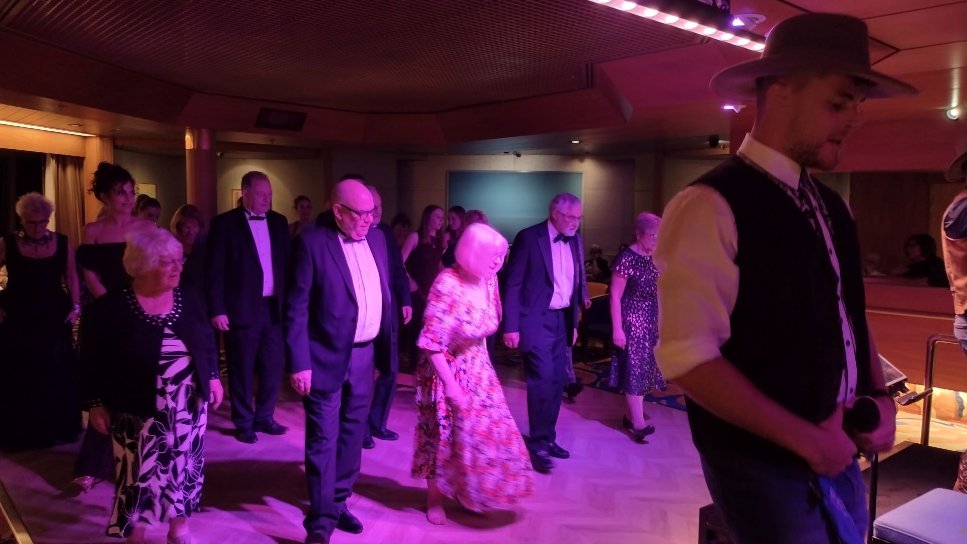
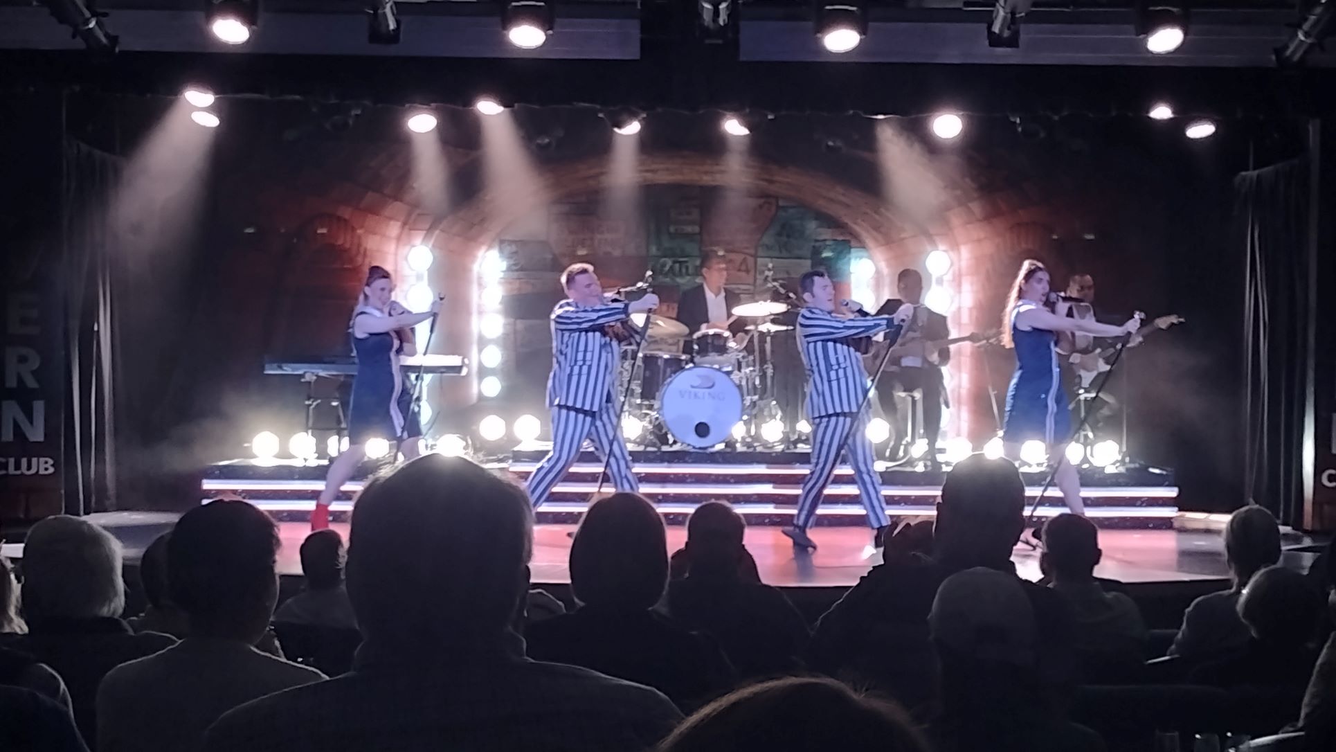
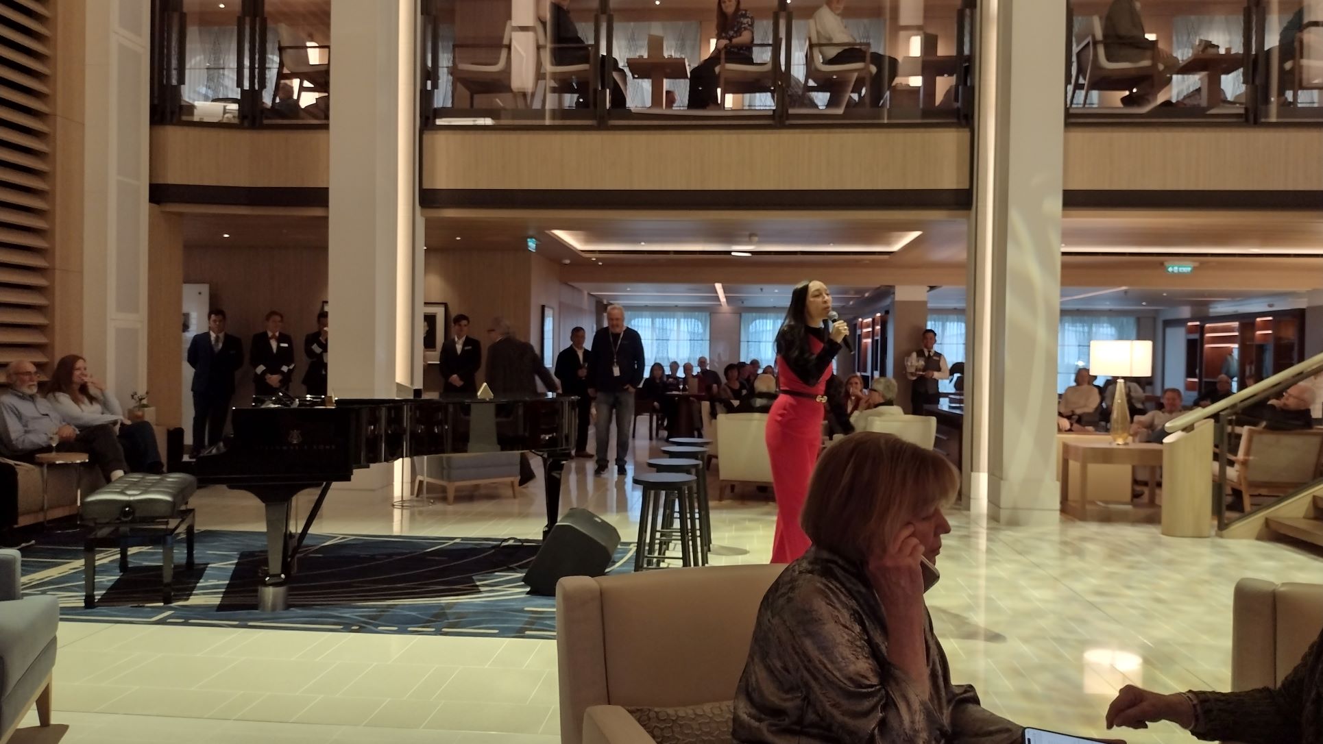
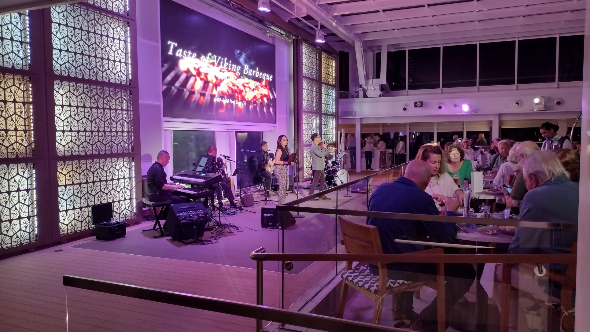
The show tonight were the 4 singers, mentioned before. We are now all confused as the ship gave the impression that they had just boarded but tonight we found out that they had been at sea already for nearly 6 months. What is nice with Fred Olsen is, is that the company does not enforce standarization that much so all the ships are equal in entertainment quality with the program strictly controlled by a manager in the office. Hence the 4 singers could sing tonight their own favourites and as we have learned through the years, if you let them sing their own favourites, songs that work the best for their type of voice, then you always get a very good show. Tonight was no different.
Tomorrow is our 2nd day in Pauillac with more tours to Bordeaux and the surrounding country side. Most tours are half day but there are 2 tours of 7 and 8 hours long, giving more time in Bordeaux. Temperatures are expected to go up a bit, sunny with a maximum of 23oC / 74oF here on the river; so Bordeaux. more inland, will be a few degrees higher.