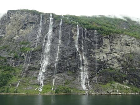
We left Geiranger just before 10 pm. last night and then had to sail 4 hours back to open waters. Contrary to the Inside Passage of Canada and Alaska you cannot sail from one fjord to another through an Inside Passage. You have to go back to open waters and then sail up or down the coast to enter the next one. Some fjords are interconnected, or branch off, or merge and some are singular cracks in the mountain stone and have no side branches at all. Some are very deep fjords such as the Hardanger Fjord, the Oslofjord and the Geiranger Fjord and some are very short or are really water ways around small islands or bare mountains tops.
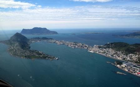
Bergen is located very close to the sea, located behind a large number of small islands and coastal strips of rock which offer easy access, and at the same time a great protection against bad weather. This is one of the reasons Bergen is so popular with the Oil-Offshore. Plenty of safe anchorages in shallow and deep water and with the sound infrastructure of the town Bergen very close by. Being so close to open sea we could we pick up the pilot at 10 am. and started to dock by 11.30 and ready for our scheduled operation by noon time.
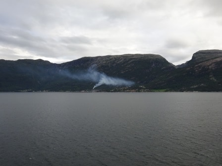
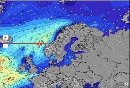
Today the sun was shining in Bergen and the temperatures reached 15 to 16oC or 61oF in the shade. Out in the sun it was a few degrees more. Still we had to re-arrange visiting this port as two days ago it was mayhem here. Although the port is well protected from a too great an onslaught by bad weather, winds of 50+ knots can get in even if the waves are held back. So does the rain and Bergen had to cope with 8 cm (4 inches) of rain while the storm system moved over. Even for an area where it can rain heavy at times that is a lot. And thus we had to stay away until things cleared up.
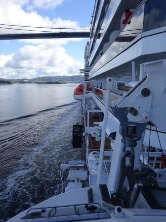
The bridge from a very unusual perspective. This photo was taken from a tender, which hangs partially outside the ship.
Although to get to Bergen is not a long way and the waters are deep, there is one obstacle which makes every captain grab for his calculator. They built a bridge over the main access route to Bergen harbor. Whatever size ship you have, the first thought is always do I fit under? And do I still fit under if the tide is high?. Many a Ship’s captain ended up with a lot of paperwork because there was an inch too many in height and it did not fit. We know we can sail under the Askoy Bridge and we always check. The tidal difference in Bergen is not that great but still…………………… The top of the funnel of the Koningsdam cleared the underside of the bridge by 6 meters to day. The bridge itself has a 62 meters clearance above chart datum and then often you have to take a little bit off for the water height. Today we had only 2 feet in tidal difference (60 cm.) and thus we had nothing to worry about.
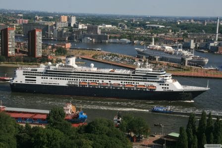
Today Bergen showed itself from it’s best side and pleased a lot of cruise guests. Apart from us the Amadea (the old Royal Princess of 1984) now sailing for a German charter company and the Horizon (from 1991 and used to be owned by Celebrity) but sails now for Croisieres de France were in too. The rest of the port was given over to local cargo ships and a large number of offshore vessels waiting for assignments.
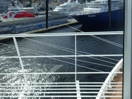
The two other cruise ships. Please note the length of the bow lines running ashore. In perspective the Blue Horizon is about 85 feet wide.
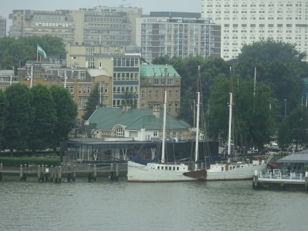
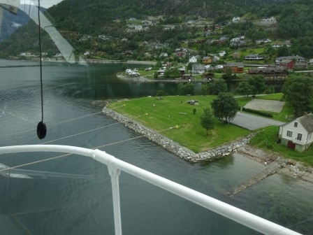
We docked today at Bontelabo which was constructed as a fisherman’s dock and hence way too short for cruise ships. Even our small Prinsendam sticks out, let alone the length of the Koningsdam. Still the dock is long enough to be able to have two gangways out even if the ropes have to run very, very long. We will have something similar in Eidfjord where we are tomorrow.
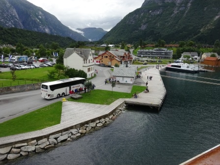
We are staying in Bergen until 8 pm. and then sail back to open waters again, turn south and then enter Hardanger fjorden of which the Eidfjorden is a part at 2 am, to get to the dock by 8 am. in the morning. The weather tomorrow might take a dip, as rain is expected and with it comes a low temperature of 8oC or 47oF.