It turned out that the predicted wind was the least of my worries. It was the millionaires who were bothering me this time. Unbeknown to the poor paupers of this world, which includes of course a poor cruise ship captain; St Barts is a special gathering place for the Rich and Famous on Boxing Day. As a result all their Mega yachts congregated at the anchorage and the biggest one, the Eclipse, parked itself at my anchorage. Thus I had to stay further out and thus the challenge started. A challenge that turned quite quickly into an un-manageable problem. The swell that made the ship surge in St. Maarten had not diminished overnight and now “attacked” the anchorage of Gustavia in a most peculiar way. The swell curved around the North West point of the island and around the South East point of the island and met in the middle, exactly where my new anchorage was located. Not something to be very happy about but something to focus on deeply and evaluate very carefully. Continue reading
Category: Captain’s Log (page 53 of 128)
We had our Christmas Carol concert and it went down very well. I am now in the cruise business for nearly 30 years with approx. 15 or more Christmases at sea and this was one of the very good ones. Whether it is because the show lounge is ideal for this or whether the Prinsendam crew is so special or was it the organization with Senior Management in the lead; I do not know but it flowed without hiccups, it sounded very good and the guests all thought it was wonderful. Afterwards all the participants had a knee’s up in the forward dining room so a good time was had by all. By 1am everybody was in bed again, as this morning was a sea day and then by 11 am the approach to St. Maarten started. The wind was still blowing strongly and the North Atlantic swell was increasing by the time that we entered the Anegada passage (West of St. Maarten and Anguilla) and that me made glad that I selected a port on the South side of an island in the lee of the wind and now also the swell. The sun was shining and all was going to be well in the world. Continue reading
MERRY CHRISTMAS TO ALL OF YOU.
Sorry for the delay in uploading but due to the heavy snowfall in the NE of the USA, all our connections were down, as the home station had snowed in. Hence no upload yesterday.
Still all of us on the Prinsendam wish you all the best for the festive Season.
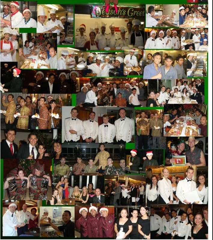
Today was a planned day at sea and tomorrow as well. The latter will now be changed into an afternoon call in St. Maarten. The weather, read wind, is slowly improving by getting less, however the long ocean swell is still with us. Occasionally there is a longer and higher wave among the others and then the ships lightly sways on the waves. Our stabilizers are working but a good push on 3/4 portside stern is hard for the stabilizers to cope with. However the guests had a full day training behind them and that means that everybody is about and getting ready for Christmas. The Beauty Salon is booked solid for the day and I heard a report about a heated discussion about formal jackets. She urging him to put one on (she had found out about our rental options) and he being against it. Did not hear the outcome but I made a mental note to find out after the holidays how many Tuxedo’s were rented onboard. Still the most important thing was that everybody was gearing up for tonight and tomorrow. Continue reading
With the petrol tank loaded to the brim we sailed out of Port Everglades harbor into the Straits of Florida. This time the HAL fan club (living in the apartment building at the entrance) were at home and 3 HAL flags were on display on the balconies. The bells were ringing and the horns going and all other sorts of noise was coming from the building. Good enough reason to blow the whistle extensively to say thank you. The Prinsendam can blow two whistles (or sound two horns, anyway you want to describe it) at the same time and it gives a nice and sonorous sound that reverberates all over the harbor. The pilot was off very quickly and I cranked the ship up to warp speed to make Half Moon Cay on time. Continue reading
So after having safely passed Cuba, the good ship Prinsendam turned due north to sail into the Straits of Florida for a scheduled early morning arrival at our end of the cruise in Port Everglades, the harbor of Fort Lauderdale. The arrival time at the pilot station is always a trade off between the captain of the ship and the harbormaster of Port Everglades. The captain wants to sail in at his optimum arrival time. Not too early but also not too late so that it will not affect disembarkation. However on a busy day the Harbourmaster might have to deal with about 10 of these “optimum” captains and then things get a big complicated. Then a sequence is sorted out to find the right balance of arrival; depending on what dock a ship is assigned to and what time a ship CAN arrive (not when it wants to arrive). Accordingly the schedule is sent out and each ship has to adhere to a 15 minute slot for picking up the pilot. Sometimes with 10 cruise ships arriving on certain dates that can be quite a challenge, then the first ship has to come in at 04.30 to ensure that the last ship, coming at 0700 hrs. still docks on time. At a time that will not affect the guests who have to get to the airport to catch their flights. The biggest complainers are then the cargo ships and the barges as they are simply being told to wait until the whole cruise ship parade is safely inside. Continue reading
It is always nice when things progress on schedule and the Lunar Eclipse took place at the time predicted. The weather might be in turmoil everywhere but at least the sun and the moon keep following the same rhythm and schedule. Just over 100 guests came out to witness the event. At least on the top deck, I do not know what the balcony people did, as the reporting security guard could not see those of course. I think most guests enjoyed it, it is not something you see everyday. I received one complaint; stating that if I could not have arranged a better time for it, instead of having it occur in the middle of the night. I fully agree with that, I will pass the message on to NASA to ensure that next time it happens just before cocktail hour…… The clouds stayed away long enough so that the full eclipse could be seen un-obscured. Winter officially started with a black out of the moon. This had not happened since 1638, so I assume it will be a while again before the next one comes by on the same date of 21 Dec. Continue reading
Thus with our last port of call behind us, we set sail towards Florida. The shortest distance from Aruba to Florida is by means of the Windward passage located between the Westside of Haiti and the East side of Cuba. That meant a North Westerly course all the way until we reached the South West point of Haiti and from there it means one course change to the NE, to line the ship up under Cabo Maisi. That is the furthermost East point of Cuba and it has a very strong lighthouse on it. Clearly visible for everybody after dark. The route from Aruba to the Windward Passage is not sought after by many ships. Mostly the cruise ships, whose routes do not make that much sense to the cargo ships community anyway and the occasional tanker that has been deviated to Aruba or Curacao while on the way to the USA. More traffic can be found in the Windward passage, as there the traffic flows come together from the South East (US), the East (Easter Caribbean) and the South West (Panama Canal area) That makes it for the navigator more interesting as there are ships to look at and ships to avoid. Continue reading
Aruba is laying in the direction NW/SE above Venezuela and slightly higher up than Bonaire and Curacao and while we sailed above B & C, we approached A from below. We made landfall around 04.30 and then slowly sailed along the well lit island until we came to the pilot station at 05.45 hrs. A peculiar phenomena in this area are the many tankers floating around. Today there were 10 of them, all drifting about a mile apart on wind and current. These were all on standby, either for going to Lake Maracaibo in Venezuela to load, or waiting for a dock in Curacao to load refined fuel or to bring crude oil. The area of preference is about 5 miles south of Aruba where they are just outside the prevailing current. That current is caused by the Trade wind which normally blows consistently over the Caribbean. The wind is so consistent that the trees on Aruba are all bent towards the West due to the Easterly winds blowing continuously against them. Continue reading
From Barbados to Aruba is 620 nautical miles of sailing. Too much for an overnight transit, and also a little bit too much for a full speed run with a day at sea. Thus we do it with a nice average speed of 16.5 knots. That speed will bring us tomorrow morning at 05.45 at the pilot station and to be docked about 45 minutes later. My official arrival time is 08.00 hrs. but there is another cruise ship coming in, scheduled at 0700 and I have to work around that. Coming in later would mean that I might not be docked on time; and I would arrive after sunrise. That brings for Aruba the inherent risk for increasing winds. Winds that blow you off the dock as the big cruise ship docks are on an exactly 90o angle with the Trade winds. Normally they blow with a wind force 5 to 6 and I cannot thruster against that to keep the ship in place while the lines are going ashore. There are very good tugboats in Oranjestad Aruba but on an early Sunday morning they are quite expensive and thus it make sense to arrive earlier, during the dark hours. So the aim is 05.45 am and to be docked before the sun rises in the East at 06.57 in the morning. Continue reading
Captain Albert

© 2026 – Captain Albert's Website and Blog –
Theme by Anders Noren — Up ↑