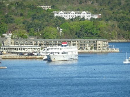
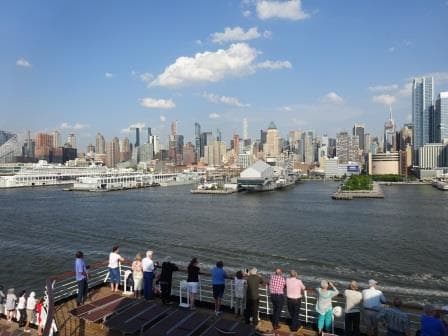
We left a little late from Bar Harbor as the tours were delayed which is sort of normal. Something to do with traffic somewhere along the route. As a result we just made it on time to Halifax but it took a while to get the gangway lined up (first time of the season) and thus a real avalanche of eager shoppers burst out of the ship once the ship had been cleared. The lone piper who welcomed us into port was drowned out by noise caused by the stampede going down the gangway. I have never seen a ship empty itself out so fast as today. But then it was a gorgeous day with the sun brightly shining, no wind and still having cool temperatures which kept the haze away from spoiling our visibility.
Thus very quickly the large majority of the guests were gone and the rest trickled off the ship shortly after. A good thing as well, as at once controlled mayhem was initiated by means of our weekly fire and boat drill. Regulations are getting tighter and tighter, based on incidents and past experiences and that is reflected year by year in the increase of the intensity of our drills. All very much with my blessing; as in my humble opinion you cannot train enough. And if I could get away with it, then I would have everybody messing around with fire extinguishers and fire hoses and everybody would be proficient in driving and commanding a lifeboat. Maybe in the future that will happen, now crew specializes in certain duties and that works as well but there is always room for improvement.
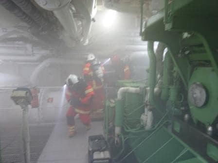
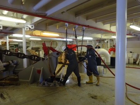
A ships firefighting team coming around the aft end of Main engine nbr. 5 In real life the smoke would be black from burning fuel but we can not simulate that so we use white stage smoke.
As a result of the regulations and the way they are interpreted, it means that every crewmember has to attend a fire drill each week and each crewmember has to attend a boat drill every month with instruction and exercise. We cannot have all 600 crew of the Maasdam running around with a fire hose so for most of them assembling and getting ready is enough. Thus with every weekly drill we now have the whole crew on the move. And that goes as follows:
- We sound the First Stage Emergency alarm because there is an emergency, normally a fire.
- This means the firefighting teams assemble and exercise. Today we put engine number 5 “on fire” and drilled all the procedures for extinguishing it again. About 100 people are involved.
- The captain gets concerned about how the “if we can extinguish the fire or if we cannot”. He orders to sound the crew alert alarm and all the crew is now on the move. The majority of them report to their assigned stations ready to support the guests. Those with non-specified functions report to the crew mess room and wait for further instructions.
- The captain is now getting really concerned and wants everybody at the lifeboat station, just “in the case “. We ring the General Emergency Alarm and simulate that the guests have already reported to their lifeboat stations and now the crew can follow. The crew in the ship gets dismissed by groups and starts to appear on deck. The more critical the function is, the longer they have to stay where they are. So the firefighters are normally the last ones to appear on deck.
If things go so far that we have to abandon ship, then the sequence continues with announcements over the outside P.A system as everybody is on deck anyway. Guests are sent away in the lifeboats and the crew follows in the life rafts. The last person to leave is the Captain who will only leave the ship when he absolutely sure it will not survive.
Not all the crew has to stay on deck for this whole procedure, as soon as everybody has been accounted for, 75% is dismissed and the remaining 25% get their monthly training. So during the required monthly period everybody will be trained, refreshed and kept alert.
While this is going on, vital activities have to continue such as bridge and engine room watches but also preparing for lunch. Thus there is a rota for that crew to get excused for one of the four monthly drills. The whole sequence normally takes 60 to 75 minutes and today we were all quite happy because outside it was such nice weather.
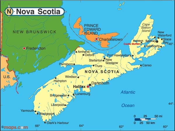
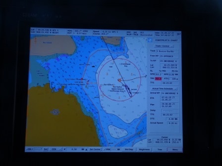
The route from Halifax on the soutside of Nova Scotia to Sydney on the North side of Cape Breton Island. Map courtesy: www.maps.com.
Tonight we will sail around the northwest corner of Nova Scotia, what is called Cape Breton and then we will be in Sydney by 11.00 hrs. which is located on Cape Breton Island. We are still out running the rain, but it will catch up with us in the late afternoon. Still there is no wind expected and the temperatures should be around 61oF or 16oC which will make it quite pleasant.